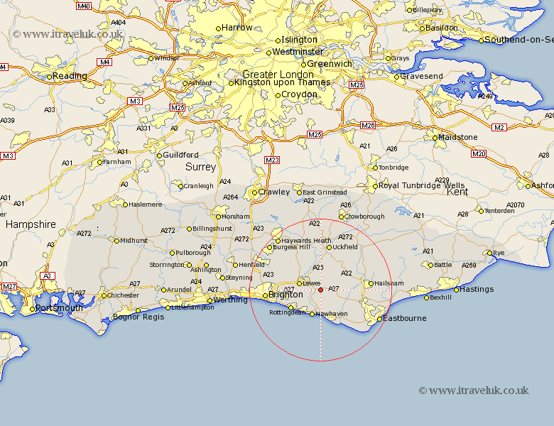
Sussex Map Showing Location of Glynde
Population: 258
District: Lewes
Easting: 545463 Northing: 107706
Latitude: 50.85 Longitude: 0.07
 = Glynde
District: Lewes
Easting: 545463 Northing: 107706
Latitude: 50.85 Longitude: 0.07
= Glynde
This Glynde map below is supplied by Google. Use the tools in the top left corner to zoom into street level or zoom out for a road map, you may also need to zoom in to see Glynde on the map. Click and drag the map to move around. If the map fails to load try and refresh your browser or zoom in or out (+ or -).
Update - it seems Google no longer allow people to use their maps for free! This Glynde map sometimes loads and sometimes gives a error. I am working on a solution.
Closest 30 Towns or Cities to Glynde (Population over 500)
Ringmer 3.7km Kingston 5.85km Kingston near Lewes 5.85km Chalvington 5.85km Laughton 5.97km Barcombe Mills Station 6.03km Lewes 6.14km Newhaven 7.78km Alfriston 8.07km Plumpton 8.98km Isfield 9.26km Seaford 9.55km Chiddingly 9.9km Rottingdean 9.9km Saltdean 10.19km East Hoathly 10.21km Chailey 11.66km Framfield 12.06km Jevington 12.89km Polegate 12.96km Hellingly 13km Uckfield 13.18km Newick 13.44km Ditchelling 13.85km Ditchling 13.85km Hailsham 14.16km Friston 14.54km Horam 14.85km Horeham 14.85km Maresfield 14.87km