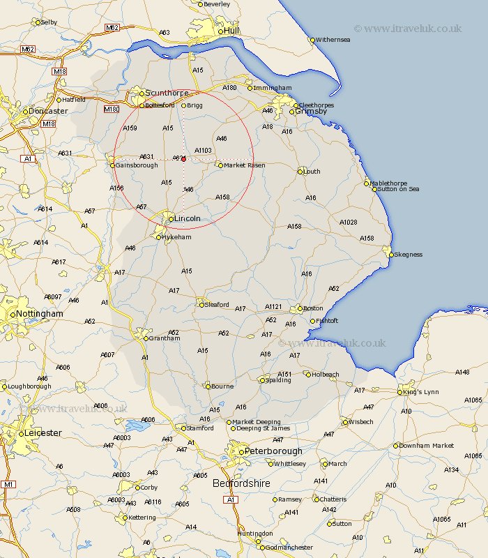
Lincolnshire Map Showing Location of Glentham
Population: 341
District: West Lindsey
Easting: 500827 Northing: 390342
Latitude: 53.4 Longitude: -0.48
 = Glentham
District: West Lindsey
Easting: 500827 Northing: 390342
Latitude: 53.4 Longitude: -0.48
= Glentham
This Glentham map below is supplied by Google. Use the tools in the top left corner to zoom into street level or zoom out for a road map, you may also need to zoom in to see Glentham on the map. Click and drag the map to move around. If the map fails to load try and refresh your browser or zoom in or out (+ or -).
Update - it seems Google no longer allow people to use their maps for free! This Glentham map sometimes loads and sometimes gives a error. I am working on a solution.
Closest 30 Towns or Cities to Glentham (Population over 500)
Waddingham 5.98km Middle Rasen 7.96km South Kelsey 8.12km Ingham 9.95km Market Rasen 10.12km North Kelsey 10.26km Kirton in Lindsey 10.71km Kirton 10.71km Welton 11.12km Dunholm 11.17km Dunholme 11.17km Hibaldstow 11.6km Scampton 12.42km Scrampton 12.42km Scothern 13.16km Scotton 13.3km Willingham 14.38km Nettleton 14.41km Caistor 14.41km Nettleham 14.82km Holton 14.93km Sudbrooke 14.99km Scawby 15.19km Scotter 15.27km Blyton 15.9km Brigg 16.68km Wragby 17.79km Lea 18.07km Messingham 18.48km Saxilby 18.5km