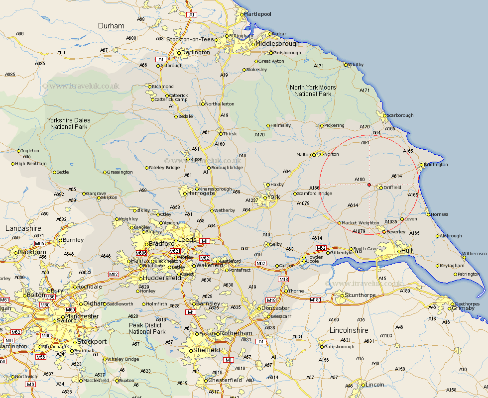
Yorkshire Map Showing Location of Garton
Easting: 498272 Northing: 458916
Latitude: 54.02 Longitude: -0.5
 = Garton
Latitude: 54.02 Longitude: -0.5
= Garton
This Garton map below is supplied by Google. Use the tools in the top left corner to zoom into street level or zoom out for a road map, you may also need to zoom in to see Garton on the map. Click and drag the map to move around. If the map fails to load try and refresh your browser or zoom in or out (+ or -).
Update - it seems Google no longer allow people to use their maps for free! This Garton map sometimes loads and sometimes gives a error. I am working on a solution.
Closest 30 Towns or Cities to Garton (Population over 500)
Driffield 4.5km Wetwang 4.74km North Frodingham 5.67km Nafferton 7.62km Cranswick 8.6km Kilham 9.46km Great Driffield 10.23km Lockington 13.02km Beeford 16.23km Cherry Burton 16.68km Sherburn 16.71km Leckonfield 17km Leconfield 17km Brandsburton 17.17km Brandesburton 17.17km Dunnington 17.95km Tickton 18.34km Pocklington 18.8km Willerby 18.81km Leven 19.08km Skipsea 19.34km Rillington 19.75km Market Weighton 19.93km Bishop Burton 20.39km Hunmanby 20.52km Bridlington 20.95km Beverley 21.11km Yedingham 21.75km Norton 21.93km Brompton 22.48km