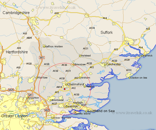
Essex Map Showing Location of Galleywood
Population: 5898
District: Chelmsford
Easting: 570439 Northing: 203070
Latitude: 51.7 Longitude: 0.47
 = Galleywood
District: Chelmsford
Easting: 570439 Northing: 203070
Latitude: 51.7 Longitude: 0.47
= Galleywood
This Galleywood map below is supplied by Google. Use the tools in the top left corner to zoom into street level or zoom out for a road map, you may also need to zoom in to see Galleywood on the map. Click and drag the map to move around. If the map fails to load try and refresh your browser or zoom in or out (+ or -).
Update - it seems Google no longer allow people to use their maps for free! This Galleywood map sometimes loads and sometimes gives a error. I am working on a solution.
Closest 30 Towns or Cities to Galleywood (Population over 500)
Great Baddow 2.3km Writtle 2.95km Chelmsford 3.88km Margaretting 3.91km Stock 6.02km West Hanningfield 6.02km East Hanningfield 6.83km Ingatestone 6.84km Danbury 6.89km Broomfield 7.42km Little Baddow 7.82km Roxwell 7.99km Rettendon 7.99km South Hanningfield 8.18km Bicknacre 8.25km Bickacre 8.25km Great Waltham 9.33km Ramsden Heath 9.34km Boreham 9.38km Billericay 9.88km Woodham Ferrers 10.74km Mountnessing 10.94km Little Waltham 11.18km Woodham Mortimer 11.49km Wickford 11.64km Terling 12.51km Hatfield Peverel 13.04km Rawreth 13.09km Purleigh 13.17km Kelvedon Hatch 13.17km