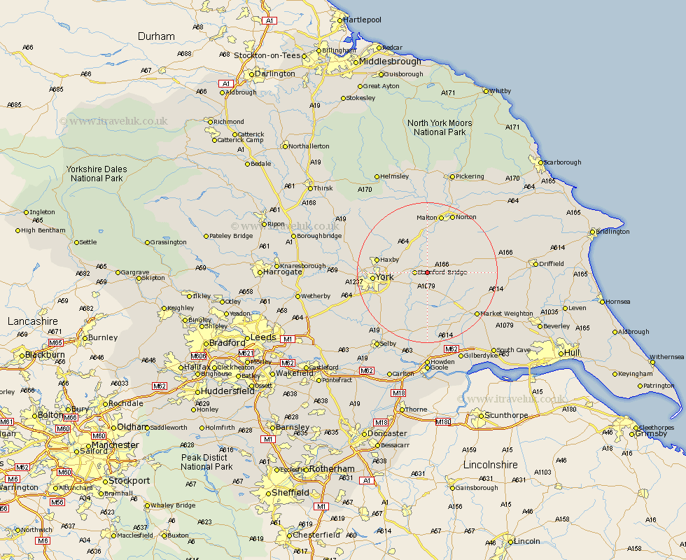
Yorkshire Map Showing Location of Full Sutton
Easting: 474310 Northing: 454754
Latitude: 53.98 Longitude: -0.87
 = Full Sutton
Latitude: 53.98 Longitude: -0.87
= Full Sutton
This Full Sutton map below is supplied by Google. Use the tools in the top left corner to zoom into street level or zoom out for a road map, you may also need to zoom in to see Full Sutton on the map. Click and drag the map to move around. If the map fails to load try and refresh your browser or zoom in or out (+ or -).
Update - it seems Google no longer allow people to use their maps for free! This Full Sutton map sometimes loads and sometimes gives a error. I am working on a solution.
Closest 30 Towns or Cities to Full Sutton (Population over 500)
Fangfoss 2.86km Stamford Bridge 3.27km Wilberfoss 3.86km Barmby-on-the-Moor 6.45km Barmby 6.45km Barmby on the Moor 6.45km Sutton 8.1km Sutton upon Derwent 8.1km Pocklington 9.44km Melbourne 11.17km Heslington 11.51km Earswick 12.13km Huntington 12.13km Wheldrake 12.9km New Earswick 13.08km Strensall 13.17km Wigginton 13.59km Haxby 13.59km Sheriff Hutton 14.12km York 14.29km Seaton Ross 15.18km Clifton 15.37km Terrington 16.21km Bishopthorpe 16.25km Bishopthorne 16.25km Escrick 16.36km Malton 17.08km Skelton 17.53km Acaster Malbis 17.86km Holme upon Spalding Moor 17.92km