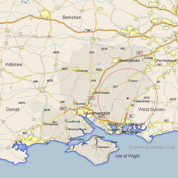
Hampshire Map Showing Location of Froxfield
Population: 853
District: East Hampshire
Easting: 470136 Northing: 124682
Latitude: 51.02 Longitude: -1
 = Froxfield
District: East Hampshire
Easting: 470136 Northing: 124682
Latitude: 51.02 Longitude: -1
= Froxfield
This Froxfield map below is supplied by Google. Use the tools in the top left corner to zoom into street level or zoom out for a road map, you may also need to zoom in to see Froxfield on the map. Click and drag the map to move around. If the map fails to load try and refresh your browser or zoom in or out (+ or -).
Update - it seems Google no longer allow people to use their maps for free! This Froxfield map sometimes loads and sometimes gives a error. I am working on a solution.
Closest 30 Towns or Cities to Froxfield (Population over 500)
East Meon 4.39km Steep 4.66km Petersfield 5.02km West Meon 5.83km Buriton 6.57km Liss 7.23km Greatham 7.91km Ropley 8.05km Bramdean 8.37km Selborne 8.75km Clanfield 9.27km Upper Farringdon 9.34km Faringdon 9.34km Farringdon 9.34km Corhampton 10.86km Horndean 11.18km Four Marks 11.66km Droxford 11.92km Medstead 12.06km Hambledon 12.06km Cheriton 12.23km Alton 13.02km Soberton 13.16km New Alresford 13.8km Kingsley 14.51km Swanmore 14.9km Liphook 15.05km Rowlands Castle 15.24km Bordon Camp 15.28km Bordon 15.28km