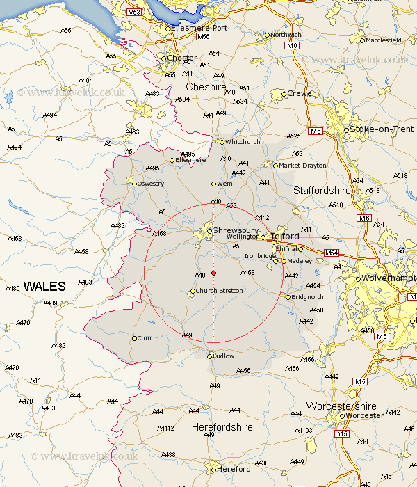
Shropshire Map Showing Location of Frodesley
Population: 132
District: Shrewsbury and Atcham
Easting: 351465 Northing: 300526
Latitude: 52.6 Longitude: -2.72
 = Frodesley
District: Shrewsbury and Atcham
Easting: 351465 Northing: 300526
Latitude: 52.6 Longitude: -2.72
= Frodesley
This Frodesley map below is supplied by Google. Use the tools in the top left corner to zoom into street level or zoom out for a road map, you may also need to zoom in to see Frodesley on the map. Click and drag the map to move around. If the map fails to load try and refresh your browser or zoom in or out (+ or -).
Update - it seems Google no longer allow people to use their maps for free! This Frodesley map sometimes loads and sometimes gives a error. I am working on a solution.
Closest 30 Towns or Cities to Frodesley (Population over 500)
Berrington 5.67km Condover 6km Cressage 7.7km Baystonhill 7.75km Church Stretton 7.91km Rushbury 9.26km Much Wenlock 11.26km Hanwood 11.46km Great Hanwood 11.46km Pontesbury 12.55km Shrewsbury 13.02km Diddlebury 14.82km Wrockwardine 15.03km Ditton Priors 15.05km Minsterley 15.09km Ford 15.79km Broseley 15.87km Rodington 16.28km Bicton 16.28km Barrow 16.88km Barrow Bridge 16.88km Ironbridge 17.28km Wistanstow 17.35km Wellington 17.48km Shelve 18.11km Westbury 18.27km Dawley 18.43km High Ercall 18.44km Ercall Magna 18.44km Hadnall 18.54km