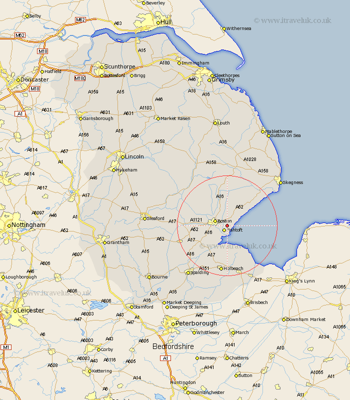
Lincolnshire Map Showing Location of Freiston
Population: 1211
District: Boston
Easting: 537660 Northing: 343038
Latitude: 52.97 Longitude: 0.05
 = Freiston
District: Boston
Easting: 537660 Northing: 343038
Latitude: 52.97 Longitude: 0.05
= Freiston
This Freiston map below is supplied by Google. Use the tools in the top left corner to zoom into street level or zoom out for a road map, you may also need to zoom in to see Freiston on the map. Click and drag the map to move around. If the map fails to load try and refresh your browser or zoom in or out (+ or -).
Update - it seems Google no longer allow people to use their maps for free! This Freiston map sometimes loads and sometimes gives a error. I am working on a solution.
Closest 30 Towns or Cities to Freiston (Population over 500)
Butterwick 2.16km Fishtoft 2.17km Benington 2.9km Bennington 2.9km Leverton 4.32km Boston 4.83km Wyberton 5.81km Old Leake 6.49km Leake 6.49km Frampton 7.13km Sibsey 7.73km Wrangle 8.65km Kirton 8.71km Frithville 9.27km Brothertoft 10.21km Sutterton 11.61km Stickney 13.16km Swineshead 13.9km Friskney 14.25km Carrington 14.59km Bicker 15.55km Quadring 18.29km Donington 18.32km Gosberton 18.66km Holbeach 18.67km Lutton 19.07km Surfleet 19.27km Wainfleet All Saints 19.96km Wainfleet 19.96km Weston 20.12km