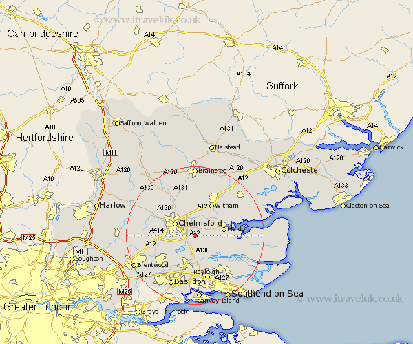
Essex Map Showing Location of Danbury
Population: 6657
Area Size (ha): 301
District: Chelmsford
Easting: 577347 Northing: 203308
Latitude: 51.7 Longitude: 0.57
 = Danbury
Area Size (ha): 301
District: Chelmsford
Easting: 577347 Northing: 203308
Latitude: 51.7 Longitude: 0.57
= Danbury
This Danbury map below is supplied by Google. Use the tools in the top left corner to zoom into street level or zoom out for a road map, you may also need to zoom in to see Danbury on the map. Click and drag the map to move around. If the map fails to load try and refresh your browser or zoom in or out (+ or -).
Update - it seems Google no longer allow people to use their maps for free! This Danbury map sometimes loads and sometimes gives a error. I am working on a solution.
Closest 30 Towns or Cities to Danbury (Population over 500)
Bickacre 2.18km Bicknacre 2.18km Little Baddow 3.7km East Hanningfield 3.88km Great Baddow 4.59km Woodham Mortimer 4.59km Rettendon 5.68km Woodham Ferrers 6.02km Chelmsford 6.83km Purleigh 6.84km Galleywood 6.89km West Hanningfield 7.21km Boreham 7.51km Cold Norton 7.83km South Hanningfield 8.18km Maldon 8.25km Malden 8.25km Heybridge 8.85km Writtle 9.37km Hatfield Peverel 9.54km Broomfield 10.12km Witham 10.34km Margaretting 10.5km Stock 10.74km Fambridge 10.94km North Fambridge 10.94km Rawreth 11.12km Terling 11.18km Wickham Bishops 11.54km Wickford 11.64km