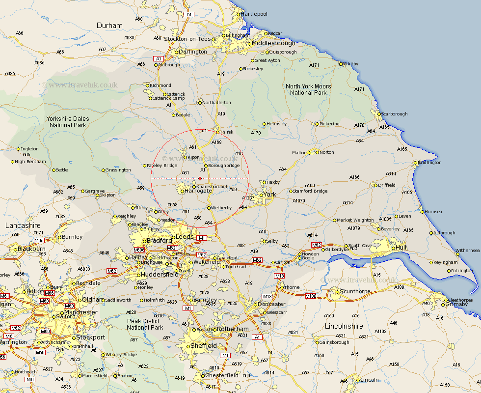
Yorkshire Map Showing Location of Ferrensby
Population: 182
District: Harrogate
Easting: 437111 Northing: 459870
Latitude: 54.03 Longitude: -1.43
 = Ferrensby
District: Harrogate
Easting: 437111 Northing: 459870
Latitude: 54.03 Longitude: -1.43
= Ferrensby
This Ferrensby map below is supplied by Google. Use the tools in the top left corner to zoom into street level or zoom out for a road map, you may also need to zoom in to see Ferrensby on the map. Click and drag the map to move around. If the map fails to load try and refresh your browser or zoom in or out (+ or -).
Update - it seems Google no longer allow people to use their maps for free! This Ferrensby map sometimes loads and sometimes gives a error. I am working on a solution.
Closest 30 Towns or Cities to Ferrensby (Population over 500)
Knaresborough 4.3km Marton le Moor 5.72km Marton 5.72km Burton Leonard 5.72km Boroughbridge 5.97km Monkton 7.06km Bishop Monkton 7.06km Great Ouseburn 7.84km Ouseburn 7.84km Whixley 7.84km Killinghall 7.84km Harrogate 8.58km Green Hammerton 9.46km Kirk Hammerton 10.34km Hammerton 10.34km Ripon 10.75km Hampsthwaite 11.04km Pannal 11.34km Linton upon Ouse 11.97km Linton 11.97km Linton-on-Ouse 11.97km Linton on Ouse 11.97km Birstwith 11.97km Dishforth 13.02km Wetherby 13.37km Newton 14.15km Newton upon Ouse 14.15km Alne 14.19km Thorp Arch 14.52km Thorpe Arch 14.52km