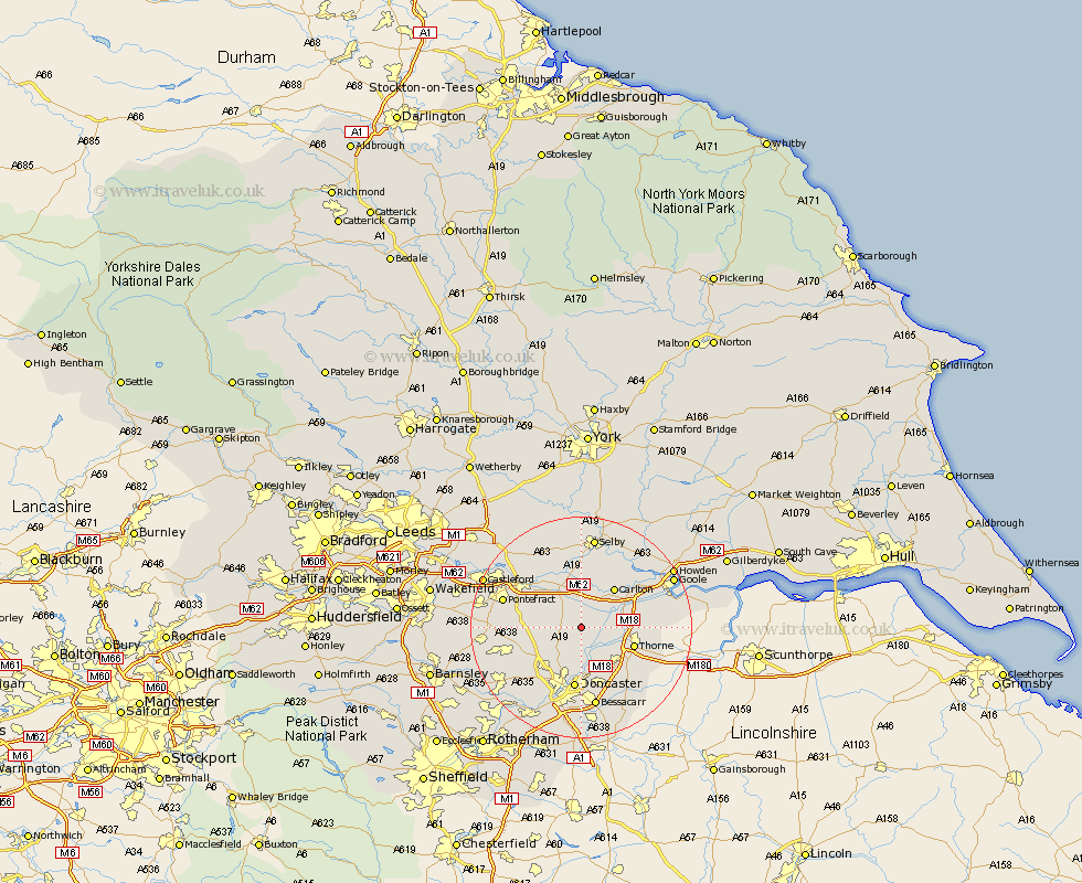
Yorkshire Map Showing Location of Fenwick
Population: 113
District: Doncaster
Easting: 459505 Northing: 415599
Latitude: 53.63 Longitude: -1.1
 = Fenwick
District: Doncaster
Easting: 459505 Northing: 415599
Latitude: 53.63 Longitude: -1.1
= Fenwick
This Fenwick map below is supplied by Google. Use the tools in the top left corner to zoom into street level or zoom out for a road map, you may also need to zoom in to see Fenwick on the map. Click and drag the map to move around. If the map fails to load try and refresh your browser or zoom in or out (+ or -).
Update - it seems Google no longer allow people to use their maps for free! This Fenwick map sometimes loads and sometimes gives a error. I am working on a solution.
Closest 30 Towns or Cities to Fenwick (Population over 500)
Askern 2.87km Pollington 4.32km Norton 5.49km Stainforth 5.75km Sutton 5.75km Campsall 5.8km Whitley 6.46km Fishlake 6.63km Snaith 7.09km Hensall 7.42km Barnby Dun 7.73km Barnby Don 7.73km Moorends 9.2km Adwick le Street 9.22km Carcroft 9.22km Carlton 9.23km Kirk Sandall 9.33km Thorne 9.54km North Elmsall 10.06km Darrington 10.56km Hatfield 10.68km Doncaster 11.17km Rawcliffe 11.34km Knottingly 11.5km Knottingley 11.5km Bentley 11.6km Armthorpe 11.6km Fleckney 11.96km Upton 12.23km South Elmsall 13.31km