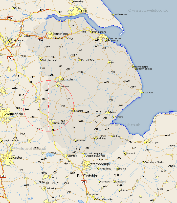
Lincolnshire Map Showing Location of Fenton
Population: 97
District: South Kesteven
Easting: 488283 Northing: 349290
Latitude: 53.03 Longitude: -0.68
 = Fenton
District: South Kesteven
Easting: 488283 Northing: 349290
Latitude: 53.03 Longitude: -0.68
= Fenton
This Fenton map below is supplied by Google. Use the tools in the top left corner to zoom into street level or zoom out for a road map, you may also need to zoom in to see Fenton on the map. Click and drag the map to move around. If the map fails to load try and refresh your browser or zoom in or out (+ or -).
Update - it seems Google no longer allow people to use their maps for free! This Fenton map sometimes loads and sometimes gives a error. I am working on a solution.
Closest 30 Towns or Cities to Fenton (Population over 500)
Claypole 3.34km Caythorpe 5.87km Fulbeck 6.69km Long Bennington 8.64km Welbourn 9.65km Bassingham 9.86km Allington 11.34km Belton 12.44km Wellingore 12.47km Ancaster 12.47km Great Gonerby 13.01km Swinderby 13.02km Navenby 13.38km Aubourn 13.72km Cranwell 14.49km Barrowby 14.82km Grantham 15.2km Eagle 16.68km Brauncewell 16.82km Thorpe 17.01km Thorpe on the Hill 17.01km Thorpe-on-the-Hill 17.01km Waddington 17.9km Heasingham 17.93km Leasingham 17.93km Hykeham 17.97km North Hykeham 17.97km Harlaxton 18.52km Bloxholm 18.67km Bloxholme 18.67km