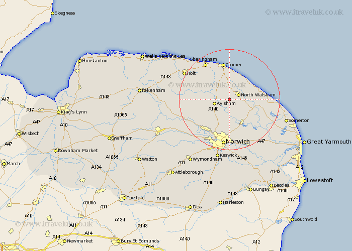
Norfolk Map Showing Location of Felmingham
Population: 564
District: North Norfolk
Easting: 624677 Northing: 327738
Latitude: 52.8 Longitude: 1.33
 = Felmingham
District: North Norfolk
Easting: 624677 Northing: 327738
Latitude: 52.8 Longitude: 1.33
= Felmingham
This Felmingham map below is supplied by Google. Use the tools in the top left corner to zoom into street level or zoom out for a road map, you may also need to zoom in to see Felmingham on the map. Click and drag the map to move around. If the map fails to load try and refresh your browser or zoom in or out (+ or -).
Update - it seems Google no longer allow people to use their maps for free! This Felmingham map sometimes loads and sometimes gives a error. I am working on a solution.
Closest 30 Towns or Cities to Felmingham (Population over 500)
North Walsham 3.84km Lamas Little Hautbois 5.56km Little Hautbois 5.56km Lammas 5.56km Aylsham 5.9km Erpingham 6.71km Marsham 6.72km Worstead 6.98km Trunch 7.14km Hevingham 7.14km Coltishall 7.75km Smallburgh 8.68km Mundersley 9.29km Mundesley 9.29km Horstead 9.33km Roughton 9.53km Hainford 9.53km Haynford 9.53km Bacton 10.54km Beeston St Lawrence 10.8km Beeston St. Lawrence 10.8km Beeston Saint Lawrence 10.8km Beeston 10.8km Northrepps 11.12km Neatishead 11.64km Walcott 11.8km Cawston 11.8km Hoveton 11.97km Wroxham 11.99km Stalham 12.87km