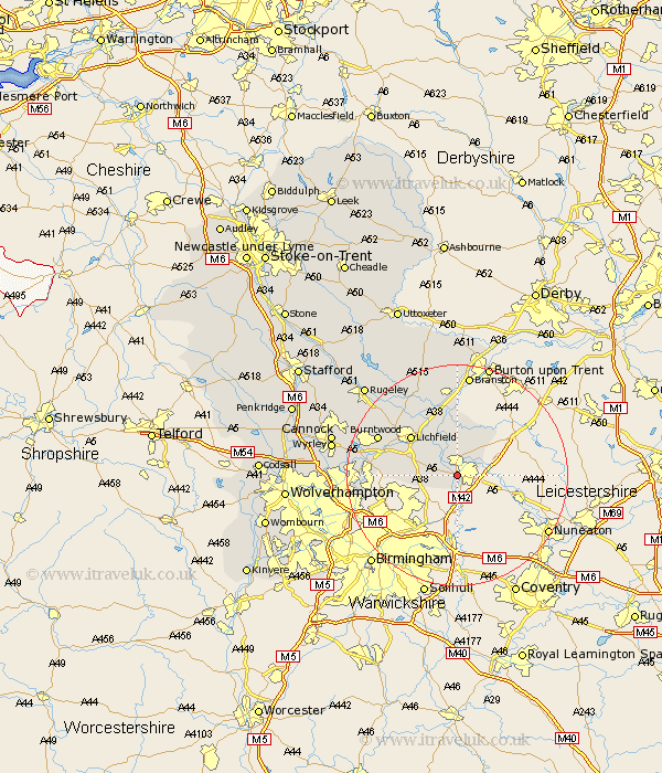
Staffordshire Map Showing Location of Fazeley
Population: 4465
Area Size (ha): 106
District: Lichfield
Easting: 420308 Northing: 302184
Latitude: 52.62 Longitude: -1.7
 = Fazeley
Area Size (ha): 106
District: Lichfield
Easting: 420308 Northing: 302184
Latitude: 52.62 Longitude: -1.7
= Fazeley
This Fazeley map below is supplied by Google. Use the tools in the top left corner to zoom into street level or zoom out for a road map, you may also need to zoom in to see Fazeley on the map. Click and drag the map to move around. If the map fails to load try and refresh your browser or zoom in or out (+ or -).
Update - it seems Google no longer allow people to use their maps for free! This Fazeley map sometimes loads and sometimes gives a error. I am working on a solution.
Closest 30 Towns or Cities to Fazeley (Population over 500)
Tamworth 1.13km Drayton Bassett 2.17km Wigginton 3.87km Elford 7.49km Whittington 8.66km Shenstone 9.19km Clifton Campville 9.3km Edingale 9.33km Lichfield 10.81km Alrewas 11.34km Hammerwich 12.91km Aldridge 14.75km Burntwood 15.39km Yoxall 15.85km Brownhills 15.86km Longdon 16.63km Pelsall 16.88km Rushall 16.98km Armitage 17.91km Tatenhill 18.52km Branston 18.66km Norton Canes 19.45km Walsall 20.34km Wallsall 20.34km Wyrley 22.15km Great Wyrley 22.15km Colton 22.17km Hednesford 22.25km Anslow 22.27km Cannock 22.61km