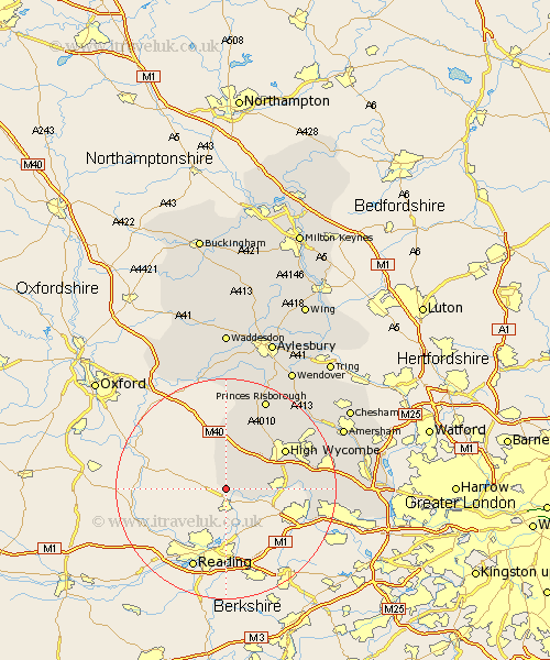
Buckinghamshire Map Showing Location of Fawley
Population: 255
District: Wycombe
Easting: 475079 Northing: 185922
Latitude: 51.57 Longitude: -0.92
 = Fawley
District: Wycombe
Easting: 475079 Northing: 185922
Latitude: 51.57 Longitude: -0.92
= Fawley
This Fawley map below is supplied by Google. Use the tools in the top left corner to zoom into street level or zoom out for a road map, you may also need to zoom in to see Fawley on the map. Click and drag the map to move around. If the map fails to load try and refresh your browser or zoom in or out (+ or -).
Update - it seems Google no longer allow people to use their maps for free! This Fawley map sometimes loads and sometimes gives a error. I am working on a solution.
Closest 30 Towns or Cities to Fawley (Population over 500)
Hambleden 3.46km Medmenham 4.97km Lane End 6.54km Stokenchurch 9.33km Great Marlow 10.37km Marlow 10.37km West Wycombe 10.94km Bradenham 12.28km High Wycombe 12.74km Chepping 12.74km Wycombe 12.74km Little Marlow 12.8km Radnage 13.42km Bourne End 14.98km Flackwell Heath 15.42km Hughenden 15.69km Wooburn 16.13km Bledlow 17.03km Penn 17.05km Taplow 17.07km Hazlemere 17.6km Princes Risborough 18.05km Longwick 19.09km Burnham 19.26km Prestwood 19.49km Dorney 19.88km Beaconsfield 19.92km Kimble 20.2km Great Kimble 20.2km Little Missenden 20.53km