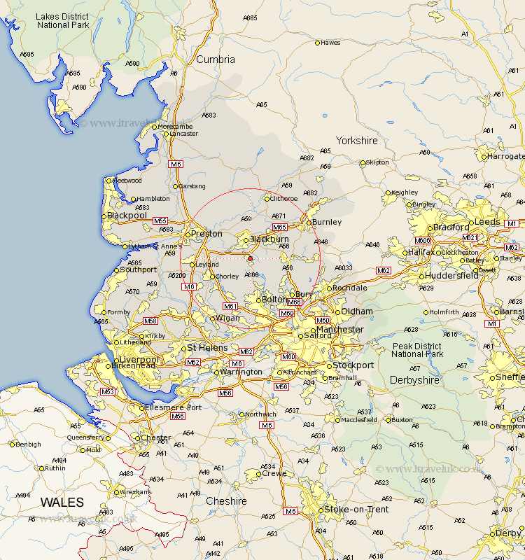
Lancashire Map Showing Location of Darwen
Population: 29127
Area Size (ha): 61
Easting: 369193 Northing: 422744
Latitude: 53.7 Longitude: -2.47
 = Darwen
Area Size (ha): 61
Easting: 369193 Northing: 422744
Latitude: 53.7 Longitude: -2.47
= Darwen
This Darwen map below is supplied by Google. Use the tools in the top left corner to zoom into street level or zoom out for a road map, you may also need to zoom in to see Darwen on the map. Click and drag the map to move around. If the map fails to load try and refresh your browser or zoom in or out (+ or -).
Update - it seems Google no longer allow people to use their maps for free! This Darwen map sometimes loads and sometimes gives a error. I am working on a solution.
Closest 30 Towns or Cities to Darwen (Population over 500)
Withnell 5.49km Blackburn 5.67km Oswaldtwistle 5.74km Rishton 6.46km Brinscall 6.84km Church 7.81km Hoghton 7.9km Mellor 8.62km Turton 8.62km Haslingden 8.78km Clayton le Moors 9.22km Clayton le Moor 9.22km Clayton-le-Moors 9.22km Wilpshire 9.33km Great Harwood 9.83km Heapey 10.55km Accrington 10.67km Langho 11.17km Chorley 11.34km Edenfield 11.58km Ribchester 11.95km Bromley Cross 11.96km Bradshaw 11.96km Simonstone 12.03km Rawtenstall 12.07km Samlesbury 12.34km Ramsbottom 12.36km Horwich 12.4km Altham 12.76km Bolton 13.16km