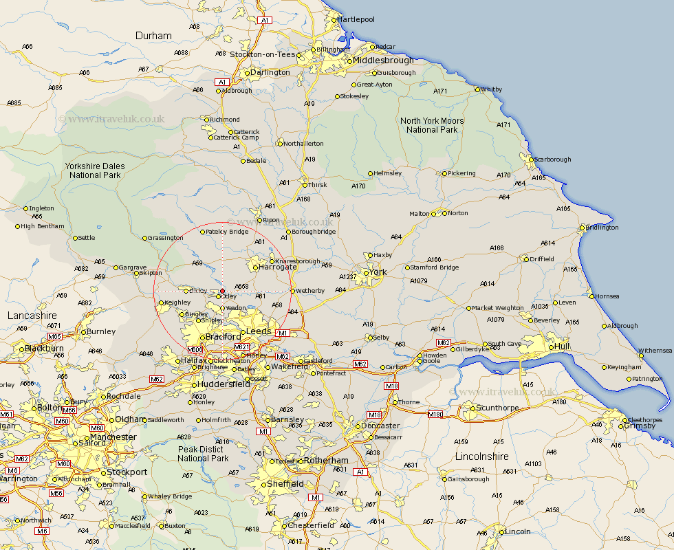
Yorkshire Map Showing Location of Farnley
Population: 323
District: Harrogate
Easting: 421891 Northing: 446802
Latitude: 53.92 Longitude: -1.67
 = Farnley
District: Harrogate
Easting: 421891 Northing: 446802
Latitude: 53.92 Longitude: -1.67
= Farnley
This Farnley map below is supplied by Google. Use the tools in the top left corner to zoom into street level or zoom out for a road map, you may also need to zoom in to see Farnley on the map. Click and drag the map to move around. If the map fails to load try and refresh your browser or zoom in or out (+ or -).
Update - it seems Google no longer allow people to use their maps for free! This Farnley map sometimes loads and sometimes gives a error. I am working on a solution.
Closest 30 Towns or Cities to Farnley (Population over 500)
Otley 2.15km Poole 3.76km Pool 3.76km Pool-in-Wharfedale 3.76km Arthington 4.75km Arthington Junction Station 4.75km Bramhope 4.95km Burley in Wharfedale 5.46km Burley 5.46km Yeadon 5.56km Menston 5.73km Guiseley 6.45km Weeton 6.55km Pannal 9.48km Horsforth 9.53km Ilkley 9.82km Baildon 9.9km Harewood 11.07km Shipley 11.36km Harrogate 11.44km Hampsthwaite 11.94km Darley 13.15km Bingley 13.2km Birstwith 13.37km Killinghall 13.48km Leeds 14.08km Addingham 14.31km Pudsey 14.83km Dacre 15.18km Scarcroft 15.25km