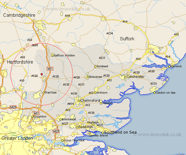
Essex Map Showing Location of Farnham
Population: 392
District: Uttlesford
Easting: 547904 Northing: 224616
Latitude: 51.9 Longitude: 0.15
 = Farnham
District: Uttlesford
Easting: 547904 Northing: 224616
Latitude: 51.9 Longitude: 0.15
= Farnham
This Farnham map below is supplied by Google. Use the tools in the top left corner to zoom into street level or zoom out for a road map, you may also need to zoom in to see Farnham on the map. Click and drag the map to move around. If the map fails to load try and refresh your browser or zoom in or out (+ or -).
Update - it seems Google no longer allow people to use their maps for free! This Farnham map sometimes loads and sometimes gives a error. I am working on a solution.
Closest 30 Towns or Cities to Farnham (Population over 500)
Manuden 2.18km Birchanger 2.95km Stansted 3.43km Stansted Mountfitchet 3.43km Stansted Apt 3.43km Elsenham 6.01km Quendon 6.53km Clavering 7.5km Hallingbury 7.76km Great Hallingbury 7.76km Henham 7.79km Takeley 8.82km Hatfield Broad Oak 10.11km Broxted 10.46km Debden 10.91km Sheering 11.18km Newport 11.52km Hatfield Heath 12.03km Great Easton 12.58km Harlow 13.03km Matching 13.76km Saffron Walden 14.67km Great Dunmow 14.98km Dunmow 14.98km Littlebury 15.51km Thaxted 15.86km Winbeche 15.94km Wymbyshe 15.94km Wimbeis 15.94km Wenbech 15.94km