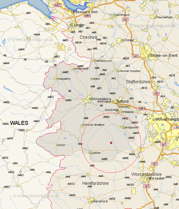
Shropshire Map Showing Location of Farlow
Population: 390
District: Bridgnorth
Easting: 363744 Northing: 281877
Latitude: 52.43 Longitude: -2.53
 = Farlow
District: Bridgnorth
Easting: 363744 Northing: 281877
Latitude: 52.43 Longitude: -2.53
= Farlow
This Farlow map below is supplied by Google. Use the tools in the top left corner to zoom into street level or zoom out for a road map, you may also need to zoom in to see Farlow on the map. Click and drag the map to move around. If the map fails to load try and refresh your browser or zoom in or out (+ or -).
Update - it seems Google no longer allow people to use their maps for free! This Farlow map sometimes loads and sometimes gives a error. I am working on a solution.
Closest 30 Towns or Cities to Farlow (Population over 500)
Cleobury Mortimer 6.51km Ditton Priors 7.75km Kinlet 8.12km Bitterley 8.74km Highley 10.34km Alveley 12.56km Caynham 12.95km Diddlebury 12.97km Bridgnorth 13.64km Ludlow 15.46km Rushbury 15.5km Worfield 17.2km Much Wenlock 18.57km Barrow Bridge 19.08km Barrow 19.08km Claverley 19.32km Craven Arms 20.34km Broseley 20.67km Wistanstow 21.78km Church Stretton 22.23km Ironbridge 22.69km Cressage 22.94km Madeley 23.25km Dawley 26.34km Berrington 26.6km Condover 28.2km Shifnal 28.29km Telford 28.43km Lydbury North 28.48km North Lydbury 28.48km