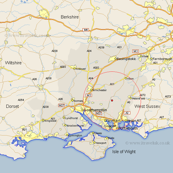
Hampshire Map Showing Location of Exton
Population: 230
District: Winchester
Easting: 461998 Northing: 120864
Latitude: 50.98 Longitude: -1.12
 = Exton
District: Winchester
Easting: 461998 Northing: 120864
Latitude: 50.98 Longitude: -1.12
= Exton
This Exton map below is supplied by Google. Use the tools in the top left corner to zoom into street level or zoom out for a road map, you may also need to zoom in to see Exton on the map. Click and drag the map to move around. If the map fails to load try and refresh your browser or zoom in or out (+ or -).
Update - it seems Google no longer allow people to use their maps for free! This Exton map sometimes loads and sometimes gives a error. I am working on a solution.
Closest 30 Towns or Cities to Exton (Population over 500)
Corhampton 2.18km Droxford 3.88km West Meon 4.39km Bramdean 5.56km Soberton 5.68km East Meon 5.83km Swanmore 6.57km Bishop's Waltham 7.92km Bishops Waltham 7.92km Hambledon 8.19km Cheriton 8.2km Upham 8.37km Shidfield 8.75km Shedfield 8.75km Froxfield 8.97km Waltham Chase 9.43km Ropley 9.56km Clanfield 9.88km Wickham 9.9km Durley 10.04km Owslebury 10.66km New Alresford 11.66km Buriton 11.81km Horndean 11.92km Curbridge 11.92km Curdridge 11.92km Botley 12.85km Southwick 12.97km Petersfield 12.97km Steep 13.36km