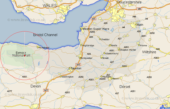
Somerset Map Showing Location of Exford
Population: 429
District: West Somerset
Easting: 285732 Northing: 138440
Latitude: 51.13 Longitude: -3.63
 = Exford
District: West Somerset
Easting: 285732 Northing: 138440
Latitude: 51.13 Longitude: -3.63
= Exford
This Exford map below is supplied by Google. Use the tools in the top left corner to zoom into street level or zoom out for a road map, you may also need to zoom in to see Exford on the map. Click and drag the map to move around. If the map fails to load try and refresh your browser or zoom in or out (+ or -).
Update - it seems Google no longer allow people to use their maps for free! This Exford map sometimes loads and sometimes gives a error. I am working on a solution.
Closest 30 Towns or Cities to Exford (Population over 500)
Porlock 7.77km Dunster 8.2km Dulverton 12.55km Minehead 12.82km Brushford 14.73km Carhampton 16.1km Williton 18.61km Watchet 21.25km Stogumber 23.26km Wiveliscombe 24.76km Milverton 29.75km Bishops Lydeard 32.28km Nether Stowey 32.61km Oake 32.93km Wellington 34.52km Stogursey 35.31km Stoke Courcy 35.31km Stokscourey 35.31km Norton Fitzwarren 35.55km Spaxton 36.1km West Buckland 36.51km Kingston 36.83km Taunton 37.76km Otterhampton 38.76km Trull 39.03km Pitminster 40.59km Durleigh 40.75km West Monkton 41.78km North Petherton 43.2km Bridgwater 44.24km