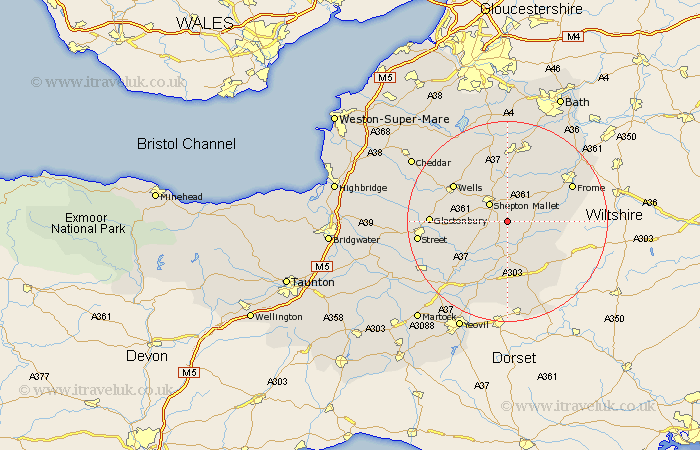
Somerset Map Showing Location of Evercreech
Population: 1799
Area Size (ha): 49
District: Mendip
Easting: 365031 Northing: 139148
Latitude: 51.15 Longitude: -2.5
 = Evercreech
Area Size (ha): 49
District: Mendip
Easting: 365031 Northing: 139148
Latitude: 51.15 Longitude: -2.5
= Evercreech
This Evercreech map below is supplied by Google. Use the tools in the top left corner to zoom into street level or zoom out for a road map, you may also need to zoom in to see Evercreech on the map. Click and drag the map to move around. If the map fails to load try and refresh your browser or zoom in or out (+ or -).
Update - it seems Google no longer allow people to use their maps for free! This Evercreech map sometimes loads and sometimes gives a error. I am working on a solution.
Closest 30 Towns or Cities to Evercreech (Population over 500)
Evercreech 0km Ditcheat 4.37km Shepton Mallet 5.09km Shepun 5.09km Pilton 6.1km Bruton 7.25km Redlynch 7.25km Castle Cary 7.51km Leigh upon Mendip 8.2km Leigh-on-Mendip 8.2km Leigh on Mendip 8.2km Leigh 8.2km Coleford 9.33km Holcombe 9.34km Nunney 9.85km Wincanton 10.19km West Pennard 10.46km Baltonsborough 11.1km Mells 11.59km Barton St David 11.85km Barton St. David 11.85km Barton Saint David 11.85km Wells 12.82km Stratton 12.98km Stratton on the Fosse 12.98km Chilcompton 12.98km Stratton-on-the-Fosse 12.98km North Cadbury 13.03km Kilmersden 13.78km Kilmersdon 13.78km