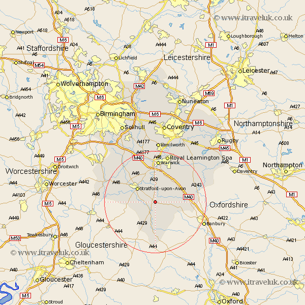
Warwickshire Map Showing Location of Eatington
Population: 953
District: Stratford-on-Avon
Easting: 427375 Northing: 248454
Latitude: 52.13 Longitude: -1.6
 = Eatington
District: Stratford-on-Avon
Easting: 427375 Northing: 248454
Latitude: 52.13 Longitude: -1.6
= Eatington
This Eatington map below is supplied by Google. Use the tools in the top left corner to zoom into street level or zoom out for a road map, you may also need to zoom in to see Eatington on the map. Click and drag the map to move around. If the map fails to load try and refresh your browser or zoom in or out (+ or -).
Update - it seems Google no longer allow people to use their maps for free! This Eatington map sometimes loads and sometimes gives a error. I am working on a solution.
Closest 30 Towns or Cities to Eatington (Population over 500)
Eatington 0km Ettington 0km Wellesbourne Hastings 5.67km Wellesbourne 5.67km Kineton 7.07km Ilmington 7.96km Stratford on Avon 8.8km Stratford upon Avon 8.8km Stratford-upon-Avon 8.8km Stratford-on-Avon 8.8km Stratford 8.8km Lighthorne 8.8km Middle Tysoe 8.81km Church Tysoe 8.81km Tysoe 8.81km Quinton 9.29km Shipston on Stour 9.33km Shipston-on-Stour 9.33km Barford 11.12km Bishops Tachbrook 12.01km Brailes 12.02km Lower Brailes 12.02km Bishops Itchington 13.57km Whitnash 14.16km Bearley 14.36km Snitterfield 14.36km Fenny Compton 14.9km Harbury 15.11km Claverdon 16.32km Warwick 16.72km