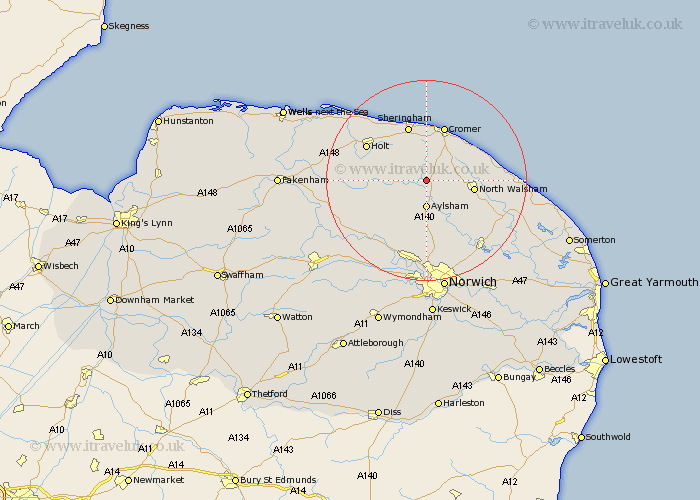
Norfolk Map Showing Location of Erpingham
Population: 541
District: North Norfolk
Easting: 618895 Northing: 331183
Latitude: 52.83 Longitude: 1.25
 = Erpingham
District: North Norfolk
Easting: 618895 Northing: 331183
Latitude: 52.83 Longitude: 1.25
= Erpingham
This Erpingham map below is supplied by Google. Use the tools in the top left corner to zoom into street level or zoom out for a road map, you may also need to zoom in to see Erpingham on the map. Click and drag the map to move around. If the map fails to load try and refresh your browser or zoom in or out (+ or -).
Update - it seems Google no longer allow people to use their maps for free! This Erpingham map sometimes loads and sometimes gives a error. I am working on a solution.
Closest 30 Towns or Cities to Erpingham (Population over 500)
Aylsham 5.56km Roughton 6.49km Felmingham 6.71km Marsham 7.41km Corpusty 8.05km North Walsham 9.15km Cawston 9.29km Northrepps 9.29km Hevingham 9.33km Trunch 10.24km Lamas Little Hautbois 10.83km Lammas 10.83km Little Hautbois 10.83km West Runton 11.12km Runton 11.12km Overstrand 11.45km Sheringham 11.61km Cromer 11.62km Mundesley 11.79km Mundersley 11.79km Briston 12.45km Reepham 12.89km Weybourne 12.99km Hainford 13.39km Haynford 13.39km Holt 13.42km Worstead 13.52km Coltishall 13.61km Witchingham 14.28km Horstead 14.61km