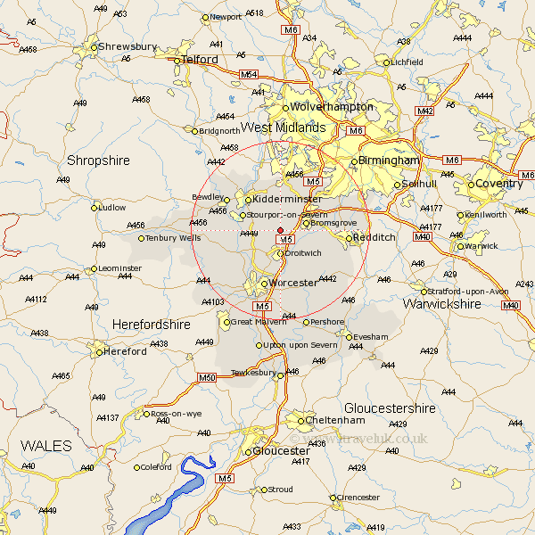
Worcestershire Map Showing Location of Elmbridge
Population: 470
District: Wychavon
Easting: 389776 Northing: 268786
Latitude: 52.32 Longitude: -2.15
 = Elmbridge
District: Wychavon
Easting: 389776 Northing: 268786
Latitude: 52.32 Longitude: -2.15
= Elmbridge
This Elmbridge map below is supplied by Google. Use the tools in the top left corner to zoom into street level or zoom out for a road map, you may also need to zoom in to see Elmbridge on the map. Click and drag the map to move around. If the map fails to load try and refresh your browser or zoom in or out (+ or -).
Update - it seems Google no longer allow people to use their maps for free! This Elmbridge map sometimes loads and sometimes gives a error. I am working on a solution.
Closest 30 Towns or Cities to Elmbridge (Population over 500)
Chaddesley Corbett 3.87km Great Dodford 5.03km Dodford 5.03km Droitwich 5.56km Bromsgrove 5.96km Hartlebury 5.96km Stoke Prior 5.96km Stone 6.52km Ombersley 7.94km Stourport on Severn 8.75km Stourport 8.75km Stourport-on-Severn 8.75km Lickey 8.78km Lickey End 8.78km Hanbury 8.78km Belbroughton 9.53km Fernhill Heath 9.88km Kidderminster 10.05km Holt 10.06km Churchill 11.35km Clent 11.35km Astley 11.48km Grimley 11.5km Barnt Green 11.91km Coston Hackett 12.61km Cofton Hackett 12.61km Romsley 13.03km Hallow 13.04km Hagley 13.16km Crowle 13.17km