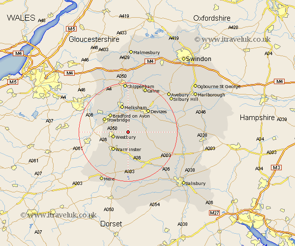
Wiltshire Map Showing Location of Edington
Population: 769
District: West Wiltshire
Easting: 393024 Northing: 152010
Latitude: 51.27 Longitude: -2.1
 = Edington
District: West Wiltshire
Easting: 393024 Northing: 152010
Latitude: 51.27 Longitude: -2.1
= Edington
This Edington map below is supplied by Google. Use the tools in the top left corner to zoom into street level or zoom out for a road map, you may also need to zoom in to see Edington on the map. Click and drag the map to move around. If the map fails to load try and refresh your browser or zoom in or out (+ or -).
Update - it seems Google no longer allow people to use their maps for free! This Edington map sometimes loads and sometimes gives a error. I am working on a solution.
Closest 30 Towns or Cities to Edington (Population over 500)
Bratton 1.16km Erlestoke 2.96km Steeple Ashton 4.37km Worton 6.02km Westbury 6.09km West Lavington 7.2km Dilton 7.89km Potterne 8.03km Hilperton 8.03km Lavington 8.32km Market Lavington 8.32km North Bradley 8.32km Seend 9.33km Heytesbury 9.35km Warminster 9.42km Southwick 9.46km Semington 9.89km Bradford on Avon 10.16km Bradford-on-Avon 10.16km Rowde 10.36km Trowbridge 10.81km Melksham 11.36km Holt 11.58km Corsley 11.83km Urchfont 12.17km Devizes 12.31km Broughton Gifford 12.54km Longbridge Deverill 13.12km Codford 13.44km Roundway 13.76km