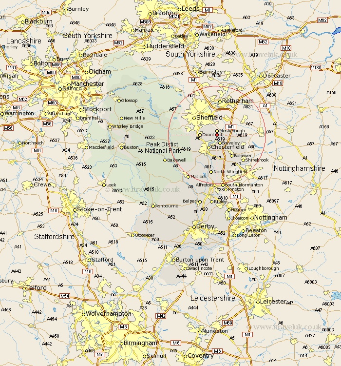
Derbyshire Map Showing Location of Eckington
Population: 7046
Area Size (ha): 153
District: North East Derbyshire
Easting: 442203 Northing: 378333
Latitude: 53.3 Longitude: -1.37
 = Eckington
Area Size (ha): 153
District: North East Derbyshire
Easting: 442203 Northing: 378333
Latitude: 53.3 Longitude: -1.37
= Eckington
This Eckington map below is supplied by Google. Use the tools in the top left corner to zoom into street level or zoom out for a road map, you may also need to zoom in to see Eckington on the map. Click and drag the map to move around. If the map fails to load try and refresh your browser or zoom in or out (+ or -).
Update - it seems Google no longer allow people to use their maps for free! This Eckington map sometimes loads and sometimes gives a error. I am working on a solution.
Closest 30 Towns or Cities to Eckington (Population over 500)
Mosborough 1.86km Mosbrough 1.86km Killamarsh 3.81km Staveley 3.87km Unstone 4.8km Barlborough 5.84km Brimington 5.99km Chesterfield 6.48km Dronfield 6.65km Barlow 8.59km Clowne 8.59km Elmton 9.54km Holmesfield 10.14km Whitwell 10.14km Bolsover 10.79km Heath 11.34km Walton 11.41km Creswell 11.42km Cresswell 11.42km Old Brampton 11.56km Brampton 11.56km Wingerworth 11.97km Ault Hucknall 13.71km Shirebrook 14.94km North Wingfield 16.47km Pilsley 16.68km Ashover 16.73km Clay Cross 17.01km Grindleford Bridge 17.82km Grindleford 17.82km