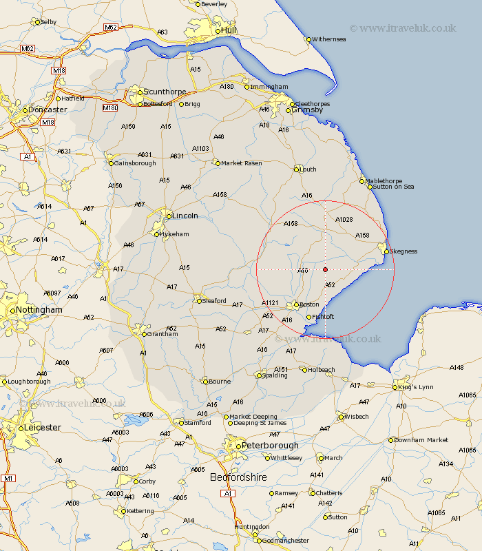
Lincolnshire Map Showing Location of Eastville
Population: 210
District: East Lindsey
Easting: 540638 Northing: 356103
Latitude: 53.08 Longitude: 0.1
 = Eastville
District: East Lindsey
Easting: 540638 Northing: 356103
Latitude: 53.08 Longitude: 0.1
= Eastville
This Eastville map below is supplied by Google. Use the tools in the top left corner to zoom into street level or zoom out for a road map, you may also need to zoom in to see Eastville on the map. Click and drag the map to move around. If the map fails to load try and refresh your browser or zoom in or out (+ or -).
Update - it seems Google no longer allow people to use their maps for free! This Eastville map sometimes loads and sometimes gives a error. I am working on a solution.
Closest 30 Towns or Cities to Eastville (Population over 500)
Stickney 5.57km Wrangle 5.67km Friskney 5.86km Leake 7.41km Old Leake 7.41km Sibsey 7.87km Leverton 9.33km Carrington 10.02km Wainfleet 10.19km Wainfleet All Saints 10.19km Frithville 10.5km Spilsby 11.12km Bennington 11.18km Benington 11.18km Butterwick 11.34km Croft 11.45km Burgh le Marsh 12.46km Freiston 13.39km Frieston 13.39km Boston 13.58km Fishtoft 15.48km Mareham on the Hill 15.72km Mareham 15.72km Mareham-on-the-Hill 15.72km Willoughby 16.26km Brothertoft 17.39km Skegness 17.59km Coningsby 18.19km Wyberton 18.42km Ingoldmells 19.13km