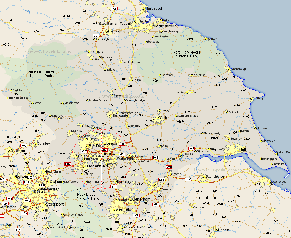
Yorkshire Map Showing Location of Dewsbury
Population: 49634
Area Size (ha): 1374
District: Kirklees
Easting: 425304 Northing: 422711
Latitude: 53.7 Longitude: -1.62
 = Dewsbury
Area Size (ha): 1374
District: Kirklees
Easting: 425304 Northing: 422711
Latitude: 53.7 Longitude: -1.62
= Dewsbury
This Dewsbury map below is supplied by Google. Use the tools in the top left corner to zoom into street level or zoom out for a road map, you may also need to zoom in to see Dewsbury on the map. Click and drag the map to move around. If the map fails to load try and refresh your browser or zoom in or out (+ or -).
Update - it seems Google no longer allow people to use their maps for free! This Dewsbury map sometimes loads and sometimes gives a error. I am working on a solution.
Closest 30 Towns or Cities to Dewsbury (Population over 500)
Batley 0.77km Heckmondwike 3.29km Morley 4.3km Ossett 4.96km Liversedge 5.48km Middlestown 5.67km Middletown 5.67km Mirfield 5.74km Horbury 5.74km Cleckheaton 6.84km Lofthouse 8.52km Stanley 8.78km Wakefield 8.78km Crigglestone 9.23km Emley 9.33km Pudsey 9.83km West Bretton 9.83km Bretton 9.83km Rothwell 10.39km Brighouse 10.97km Leeds 11.33km Shelley 11.96km Huddersfield 12.3km Kirkburton 12.4km Bradford 12.75km Woolley 12.93km Normanton 13.17km Darton 14.09km Notton 14.17km Crofton 14.3km