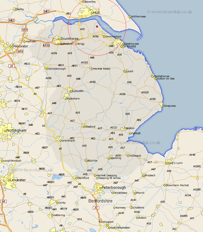
Lincolnshire Map Showing Location of East Halton
Population: 604
Easting: 513407 Northing: 420307
Latitude: 53.67 Longitude: -0.28
 = East Halton
Easting: 513407 Northing: 420307
Latitude: 53.67 Longitude: -0.28
= East Halton
This East Halton map below is supplied by Google. Use the tools in the top left corner to zoom into street level or zoom out for a road map, you may also need to zoom in to see East Halton on the map. Click and drag the map to move around. If the map fails to load try and refresh your browser or zoom in or out (+ or -).
Update - it seems Google no longer allow people to use their maps for free! This East Halton map sometimes loads and sometimes gives a error. I am working on a solution.
Closest 30 Towns or Cities to East Halton (Population over 500)
Goxhill 3.29km Ulceby 6.46km New Holland 6.62km Barrow on Humber 6.84km Barrow-upon-Humber 6.84km Barrow-on-Humber 6.84km Barrow 6.84km Barrow upon Humber 6.84km Habrough 7.74km Immingham 8.62km Keelby 11.33km Stallingborough 11.38km South Killingholme 11.6km Healing 13.52km Barnetby le Wold 13.52km Barnetby 13.52km South Ferriby 14.27km Wrawby 16.43km Laceby 16.71km Great Coates 17.25km Brigg 18.51km Appleby 19.49km Caistor 20.51km Nettleton 20.51km Waltham 20.61km Broughton 20.81km Winteringham 20.94km Winterton 20.95km Cleethorpes 20.99km Great Grimsby 21.38km