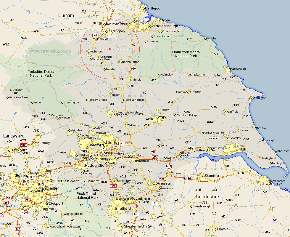
Yorkshire Map Showing Location of East Cowton
Population: 640
District: Hambleton
Easting: 430280 Northing: 502477
Latitude: 54.42 Longitude: -1.53
 = East Cowton
District: Hambleton
Easting: 430280 Northing: 502477
Latitude: 54.42 Longitude: -1.53
= East Cowton
This East Cowton map below is supplied by Google. Use the tools in the top left corner to zoom into street level or zoom out for a road map, you may also need to zoom in to see East Cowton on the map. Click and drag the map to move around. If the map fails to load try and refresh your browser or zoom in or out (+ or -).
Update - it seems Google no longer allow people to use their maps for free! This East Cowton map sometimes loads and sometimes gives a error. I am working on a solution.
Closest 30 Towns or Cities to East Cowton (Population over 500)
North Cowton 2.15km Scorton 5.69km Middleton Tyas 8.41km Catterick 8.54km Barton 9.37km Brompton 10.59km Northallerton 11.31km Gilling 12km Melsonby 12.2km Richmond 13.08km Crakehall 14.06km Bedale 15.18km Osmotherley 16.1km Middleton 18.12km Middleton upon Leven 18.12km Whorlton 18.33km Seamer 21.22km Stokesley 22.26km Leyburn 22.48km Masham 23.49km Middleham 23.6km Great Broughton 24km West Tanfield 24.19km Tanfield 24.19km Thirsk 25.75km Grewelthorpe 27.03km Great Ayton 27.46km Topcliffe 27.72km Ingleby 28.09km Kirkby Malzeard 28.81km