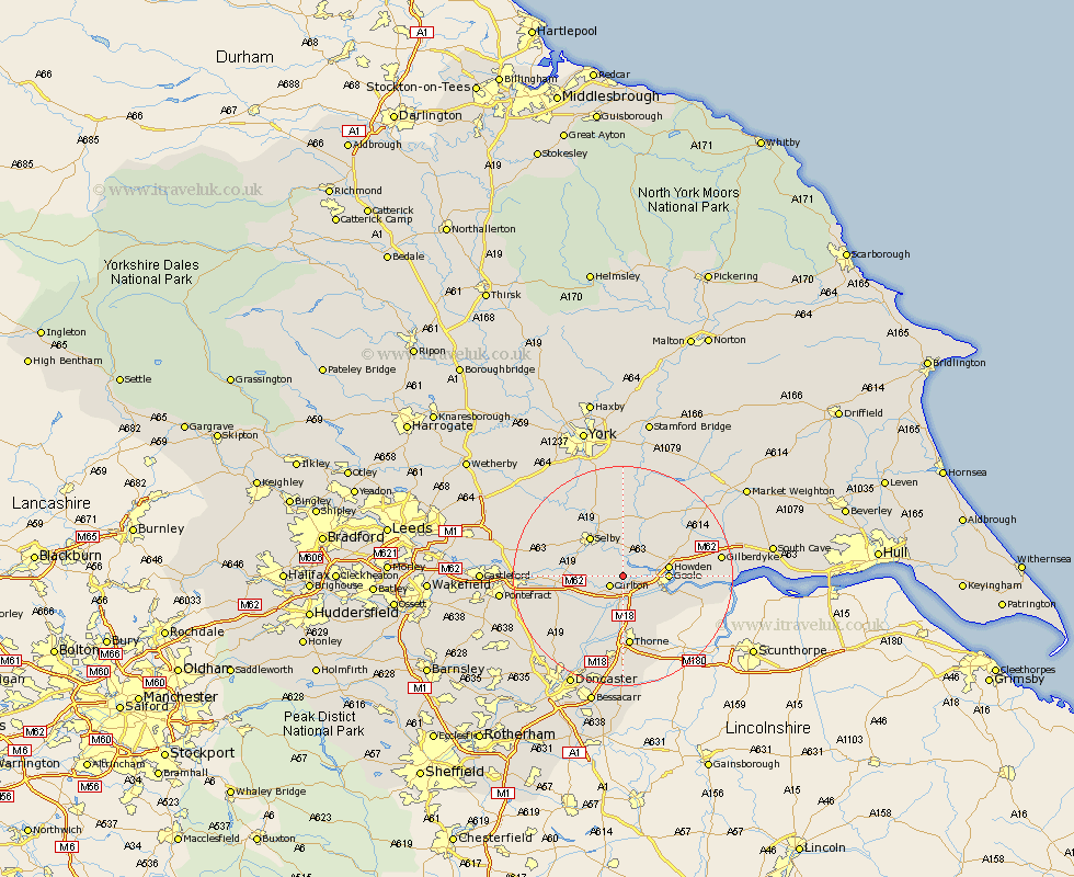
Yorkshire Map Showing Location of Drax
Population: 382
District: Selby
Easting: 467086 Northing: 424980
Latitude: 53.72 Longitude: -0.98
 = Drax
District: Selby
Easting: 467086 Northing: 424980
Latitude: 53.72 Longitude: -0.98
= Drax
This Drax map below is supplied by Google. Use the tools in the top left corner to zoom into street level or zoom out for a road map, you may also need to zoom in to see Drax on the map. Click and drag the map to move around. If the map fails to load try and refresh your browser or zoom in or out (+ or -).
Update - it seems Google no longer allow people to use their maps for free! This Drax map sometimes loads and sometimes gives a error. I am working on a solution.
Closest 30 Towns or Cities to Drax (Population over 500)
Carlton 2.87km Barlow 4.3km Rawcliffe 4.31km Snaith 4.96km Airmyn 5.48km Hemingbrough 5.56km Cliffe Common 5.56km Cliff Common Station 5.56km Goole 7.68km Pollington 7.81km Howden 7.89km Hensall 7.9km Brayton 8.61km Hook 8.77km Selby 9.21km Swinefleet 10.55km Whitley 11.58km Bubwith 11.95km Moorends 13.01km Thorne 13.02km Fishlake 13.16km Hambleton 13.28km Stainforth 13.39km Wistow 13.51km Eastrington 13.67km Riccall 13.69km Askern 14.88km Cawood 15.65km Norton 16.11km Knottingley 16.56km