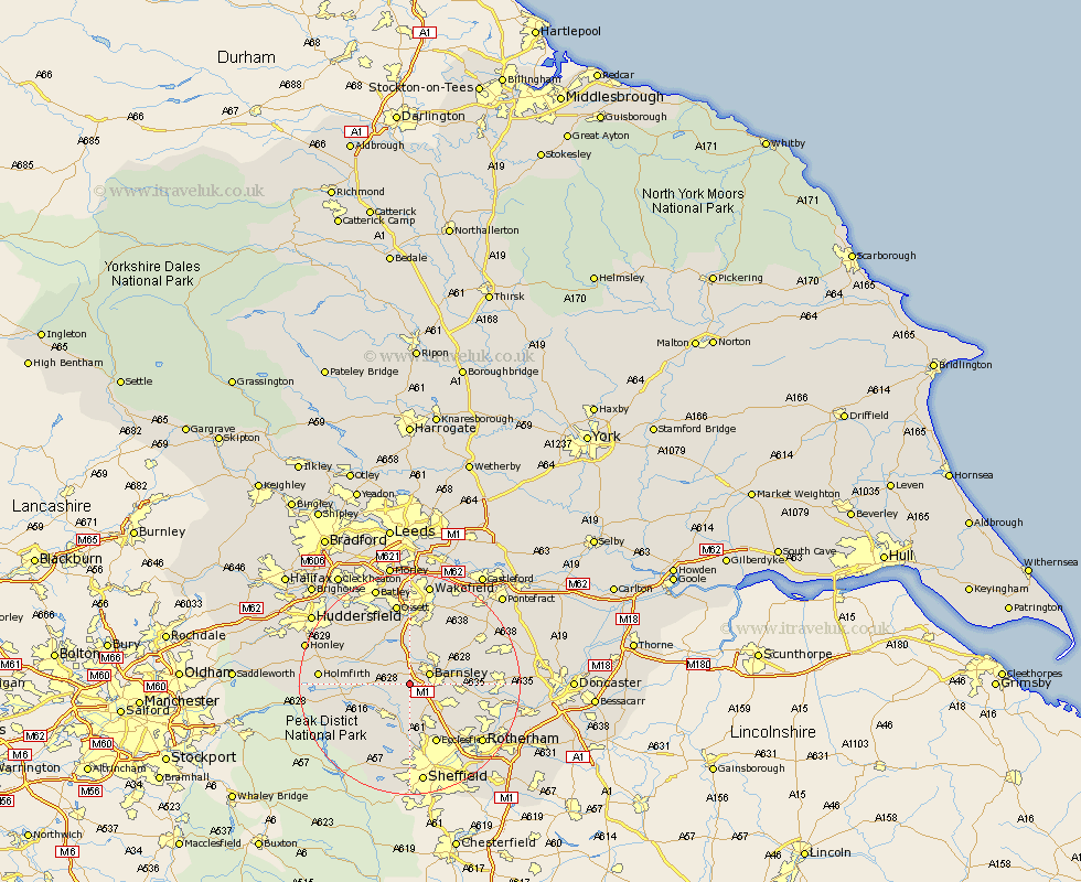
Yorkshire Map Showing Location of Dodworth
Population: 4931
Area Size (ha): 166
District: Barnsley
Easting: 430928 Northing: 404200
Latitude: 53.53 Longitude: -1.53
 = Dodworth
Area Size (ha): 166
District: Barnsley
Easting: 430928 Northing: 404200
Latitude: 53.53 Longitude: -1.53
= Dodworth
This Dodworth map below is supplied by Google. Use the tools in the top left corner to zoom into street level or zoom out for a road map, you may also need to zoom in to see Dodworth on the map. Click and drag the map to move around. If the map fails to load try and refresh your browser or zoom in or out (+ or -).
Update - it seems Google no longer allow people to use their maps for free! This Dodworth map sometimes loads and sometimes gives a error. I am working on a solution.
Closest 30 Towns or Cities to Dodworth (Population over 500)
Silkstone 2.2km Worsborough 3.79km Worsbrough 3.79km Barnsley 3.79km Birdwell 4.96km Cawthorne 4.97km Wortley 5.56km Darton 5.56km Penistone 5.81km Hoyland 6.64km Hoyland Nether 6.64km Tankersley 7.1km Stocksbridge 7.1km Woolley 7.5km Notton 8.12km Cudworth 8.55km Wombwell 9km Royston 9.23km Shafton 9.5km West Bretton 9.53km Bretton 9.53km Denby Dale 9.56km Darfield 9.91km Darsfield 9.91km Wentworth 10.7km Crigglestone 11.12km Little Houghton 11.17km Oughtibridge 11.17km Wharncliffe 11.17km Wharncliffe Side 11.17km