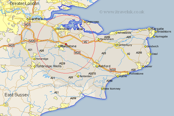
Kent Map Showing Location of Detling
Population: 777
District: Maidstone
Easting: 580134 Northing: 157021
Latitude: 51.28 Longitude: 0.58
 = Detling
District: Maidstone
Easting: 580134 Northing: 157021
Latitude: 51.28 Longitude: 0.58
= Detling
This Detling map below is supplied by Google. Use the tools in the top left corner to zoom into street level or zoom out for a road map, you may also need to zoom in to see Detling on the map. Click and drag the map to move around. If the map fails to load try and refresh your browser or zoom in or out (+ or -).
Update - it seems Google no longer allow people to use their maps for free! This Detling map sometimes loads and sometimes gives a error. I am working on a solution.
Closest 30 Towns or Cities to Detling (Population over 500)
Detling 0km Bearsted 2.18km Boxley 2.32km Maidstone 4.99km Langley 5.56km Hollingbourne 5.94km Stockbury 5.94km Leeds 6.02km Aylesford 6.95km Loose 7.24km Burham 7.88km Boughton Monchelsea 8.18km Bredgar 8.32km Linton 8.74km Harrietsham 8.91km Borden 8.92km East Barming 8.92km Barming 8.92km Sutton Valence 9.26km Newington 9.41km Wouldham 9.83km Tunstall 9.99km Ulcombe 10.36km Upchurch 10.37km East Malling 10.6km Lenham 10.82km Lower Halstow 10.93km Bobbing 10.99km Snodland 11.07km Gillingham 11.09km