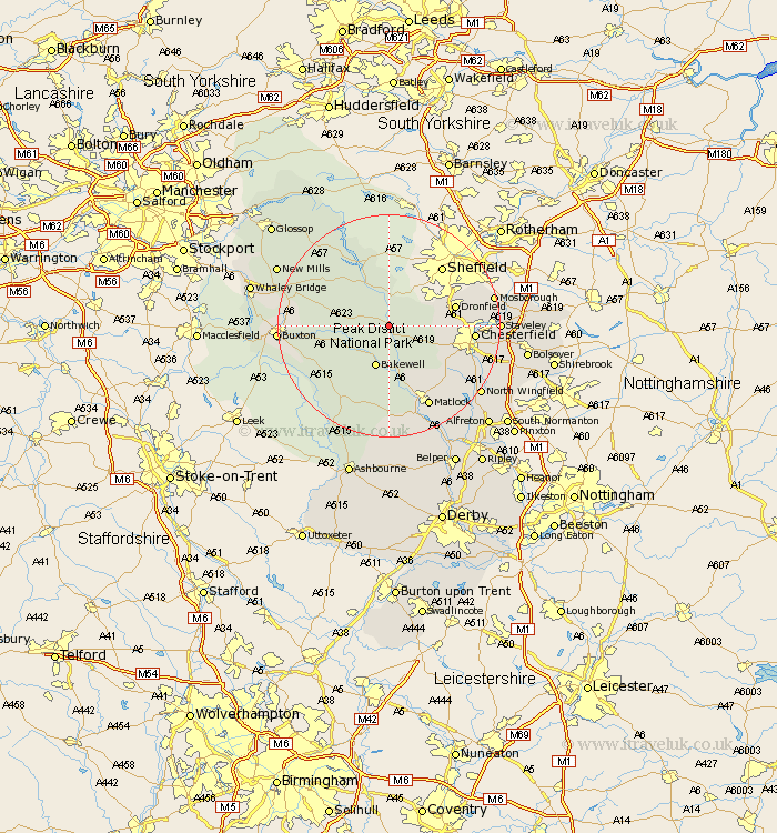
Derbyshire Map Showing Location of Curbar
Population: 500
District: Derbyshire Dales
Easting: 424453 Northing: 374505
Latitude: 53.27 Longitude: -1.63
 = Curbar
District: Derbyshire Dales
Easting: 424453 Northing: 374505
Latitude: 53.27 Longitude: -1.63
= Curbar
This Curbar map below is supplied by Google. Use the tools in the top left corner to zoom into street level or zoom out for a road map, you may also need to zoom in to see Curbar on the map. Click and drag the map to move around. If the map fails to load try and refresh your browser or zoom in or out (+ or -).
Update - it seems Google no longer allow people to use their maps for free! This Curbar map sometimes loads and sometimes gives a error. I am working on a solution.
Closest 30 Towns or Cities to Curbar (Population over 500)
Stoney Middleton 1.11km Stony Middleton 1.11km Grindleford 1.85km Grindleford Bridge 1.85km Eyam 2.88km Baslow 3.88km Hathersage 5.67km Great Longstone 5.79km Longstone 5.79km Bakewell 7.74km Holmesfield 7.97km Tideswell 8.87km Bradwell 9.54km Old Brampton 9.62km Brampton 9.62km Bamford 9.84km Barlow 9.98km Darley Dale 11.34km Castleton 11.55km Dronfield 11.68km Youlgreave 11.97km Hope 12.08km Walton 12.41km Middleton 12.43km Unstone 13.43km Chesterfield 14.53km Winster 14.88km Ashover 14.95km Wingerworth 15.24km Brimington 15.63km