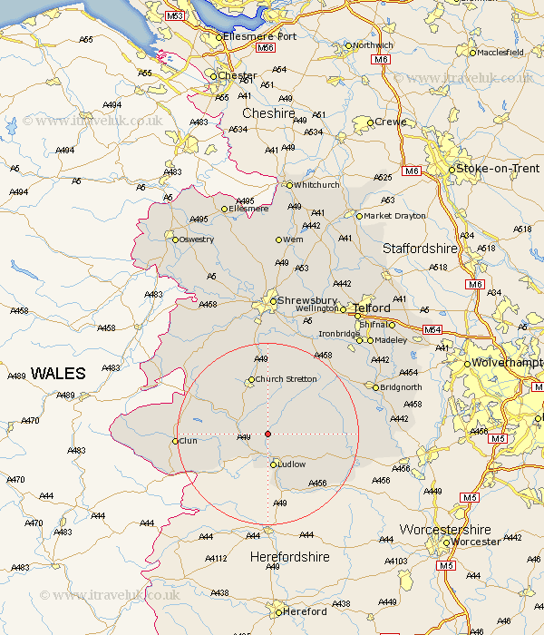
Shropshire Map Showing Location of Culmington
Population: 411
District: South Shropshire
Easting: 349015 Northing: 282008
Latitude: 52.43 Longitude: -2.75
 = Culmington
District: South Shropshire
Easting: 349015 Northing: 282008
Latitude: 52.43 Longitude: -2.75
= Culmington
This Culmington map below is supplied by Google. Use the tools in the top left corner to zoom into street level or zoom out for a road map, you may also need to zoom in to see Culmington on the map. Click and drag the map to move around. If the map fails to load try and refresh your browser or zoom in or out (+ or -).
Update - it seems Google no longer allow people to use their maps for free! This Culmington map sometimes loads and sometimes gives a error. I am working on a solution.
Closest 30 Towns or Cities to Culmington (Population over 500)
Diddlebury 4.35km Craven Arms 5.65km Ludlow 7.49km Bitterley 7.73km Wistanstow 7.73km Rushbury 9.55km Caynham 10.85km Church Stretton 13.41km North Lydbury 14.05km Lydbury North 14.05km Ditton Priors 14.47km Bucknell 15.46km Cleobury Mortimer 18.92km Clun 19.3km Kinlet 22.68km Much Wenlock 22.95km Shelve 22.97km Cressage 24km Condover 24.1km Berrington 24.33km Highley 24.92km Bridgnorth 25.16km Minsterley 25.46km Pontesbury 25.73km Baystonhill 25.95km Barrow Bridge 26.67km Barrow 26.67km Alveley 27.18km Broseley 27.23km Chirbury 28.06km