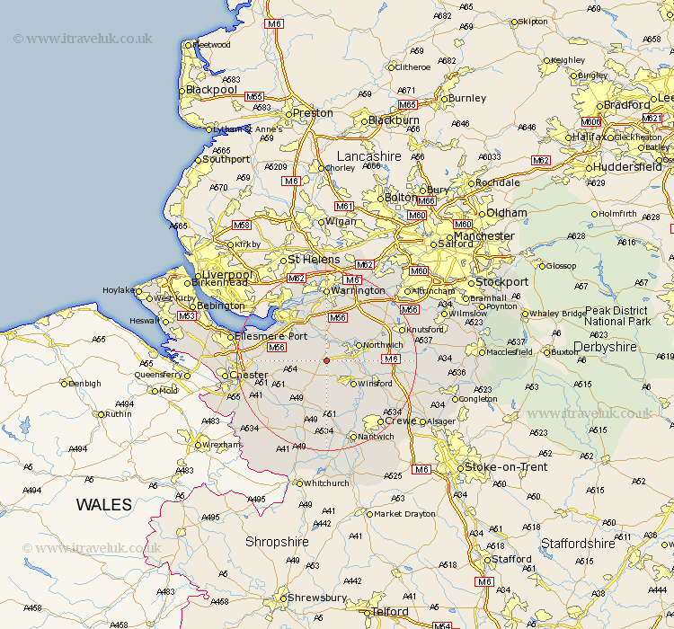
Cheshire Map Showing Location of Cuddington
Population: 4161
Area Size (ha): 132
District: Vale Royal
Easting: 359955 Northing: 370895
Latitude: 53.23 Longitude: -2.6
 = Cuddington
Area Size (ha): 132
District: Vale Royal
Easting: 359955 Northing: 370895
Latitude: 53.23 Longitude: -2.6
= Cuddington
This Cuddington map below is supplied by Google. Use the tools in the top left corner to zoom into street level or zoom out for a road map, you may also need to zoom in to see Cuddington on the map. Click and drag the map to move around. If the map fails to load try and refresh your browser or zoom in or out (+ or -).
Update - it seems Google no longer allow people to use their maps for free! This Cuddington map sometimes loads and sometimes gives a error. I am working on a solution.
Closest 30 Towns or Cities to Cuddington (Population over 500)
Weaverham 2.16km Hartford 3.33km Acton 3.71km Whitegate 3.81km Delamere 4.81km Davenham 5.55km Little Budworth 5.56km Kingsley 5.78km Anderton 5.78km Kelsall 5.85km Kelshall Hill 5.85km Kelsall Hill 5.85km Northwick 7.62km Marston 7.62km Northwich 7.62km Winsford 7.86km Ashton 9.07km Lostock Gralam 9.62km Preston Brook 9.85km Preston-on-the-Hill 9.85km Preston on the Hill 9.85km Tarporley 10.27km Stretton 11.34km Halton 11.41km Frodsham 11.56km Helsby 11.69km Tarvin 11.7km Middlewick 12.41km Middlewich 12.41km Plumbley 12.75km