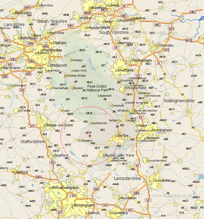
Derbyshire Map Showing Location of Great Cubley
Population: 240
District: Derbyshire Dales
Easting: 416801 Northing: 337386
Latitude: 52.93 Longitude: -1.75
 = Great Cubley
District: Derbyshire Dales
Easting: 416801 Northing: 337386
Latitude: 52.93 Longitude: -1.75
= Great Cubley
This Great Cubley map below is supplied by Google. Use the tools in the top left corner to zoom into street level or zoom out for a road map, you may also need to zoom in to see Great Cubley on the map. Click and drag the map to move around. If the map fails to load try and refresh your browser or zoom in or out (+ or -).
Update - it seems Google no longer allow people to use their maps for free! This Great Cubley map sometimes loads and sometimes gives a error. I am working on a solution.
Closest 30 Towns or Cities to Great Cubley (Population over 500)
Doveridge 5.8km Church Broughton 6.49km Sudbury 7.41km Clifton 7.42km Brailsford 9.13km Ashbourne 9.34km Scropton 9.53km Kirk Langley 12.29km Etwall 12.49km Burnaston 13.49km Egginton 15km Derby 16.76km Quarndon 16.86km Newton Solney 17.12km Findern 17.24km Burton on Trent 17.31km Burton-on-Trent 17.31km Burton upon Trent 17.31km Repton 17.43km Willington 17.43km Brassington 17.97km Duffield 18.25km Bretby 20.08km Breadsall 20.11km Little Eaton 20.19km Holbrook 20.37km Barton under Needwood 20.5km Barton-under-Needwood 20.5km Barton 20.5km Wirksworth 20.7km