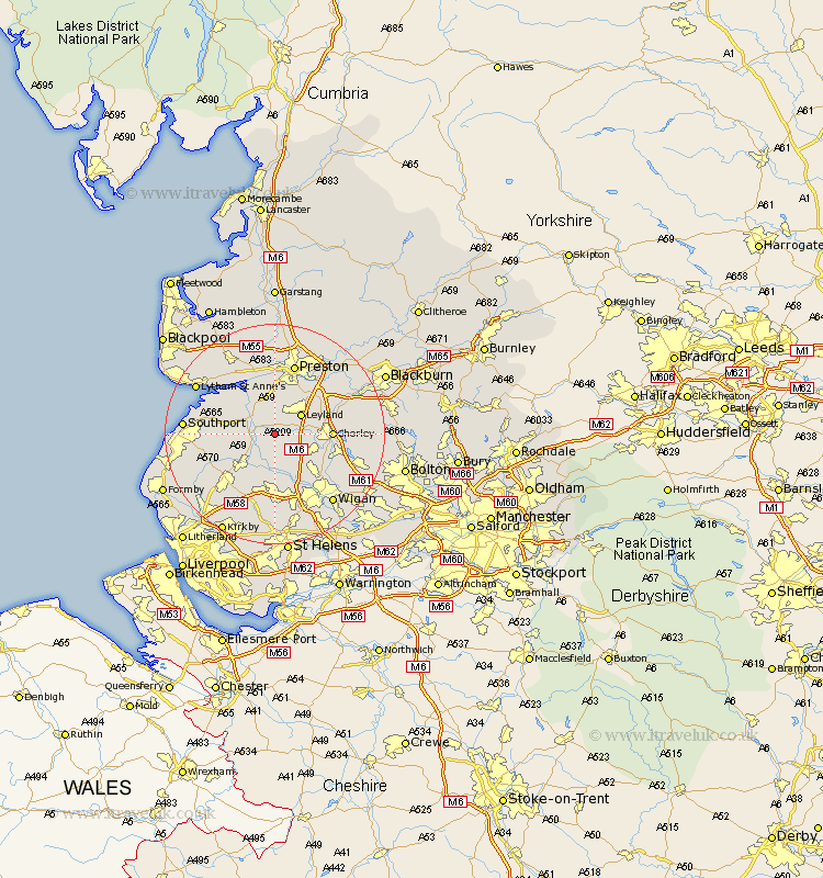
Lancashire Map Showing Location of Croston
Population: 2570
Area Size (ha): 71
District: Chorley
Easting: 349329 Northing: 417354
Latitude: 53.65 Longitude: -2.77
 = Croston
Area Size (ha): 71
District: Chorley
Easting: 349329 Northing: 417354
Latitude: 53.65 Longitude: -2.77
= Croston
This Croston map below is supplied by Google. Use the tools in the top left corner to zoom into street level or zoom out for a road map, you may also need to zoom in to see Croston on the map. Click and drag the map to move around. If the map fails to load try and refresh your browser or zoom in or out (+ or -).
Update - it seems Google no longer allow people to use their maps for free! This Croston map sometimes loads and sometimes gives a error. I am working on a solution.
Closest 30 Towns or Cities to Croston (Population over 500)
Croston 0km Penrith 2.2km Bretherton 2.88km Mawdesley 3.7km Eccleston 3.78km Tarleton 4.77km Leyland 5.75km Rufford 5.75km Hoole 5.98km Much Hoole 5.98km Euxton 6.59km Parbold 7.42km Longton 7.73km Coppull 8.54km Farrington 8.62km Farington 8.62km Burscough 8.62km Hutton 9.26km Lathom 9.83km Appley Bridge 9.83km Chorley 9.89km Standish 9.93km Heapey 10.06km Banks 10.55km Shevington 10.77km Penwortham 11.33km Scarisbrick 12.32km Adlington 12.32km Ormskirk 12.77km Freckleton 12.92km