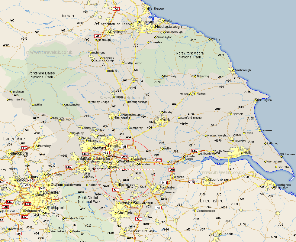
Yorkshire Map Showing Location of Crofton
Population: 5750
Area Size (ha): 120
District: Wakefield
Easting: 438553 Northing: 417239
Latitude: 53.65 Longitude: -1.42
 = Crofton
Area Size (ha): 120
District: Wakefield
Easting: 438553 Northing: 417239
Latitude: 53.65 Longitude: -1.42
= Crofton
This Crofton map below is supplied by Google. Use the tools in the top left corner to zoom into street level or zoom out for a road map, you may also need to zoom in to see Crofton on the map. Click and drag the map to move around. If the map fails to load try and refresh your browser or zoom in or out (+ or -).
Update - it seems Google no longer allow people to use their maps for free! This Crofton map sometimes loads and sometimes gives a error. I am working on a solution.
Closest 30 Towns or Cities to Crofton (Population over 500)
Crofton 0km Fitzwilliam 2.88km Ryhill 3.86km High Ackworth 5.49km Ackworth Moor Top 5.49km Ackworth 5.49km Normanton 5.56km Royston 5.98km Featherstone 6.46km Wakefield 7.08km Stanley 7.08km Hemsworth 7.09km Notton 7.09km Shafton 7.42km Crigglestone 7.91km Pontefract 8.53km Badsworth 8.54km Castleford 8.62km Woolley 8.63km Horbury 8.98km Cudworth 9.26km Upton 9.54km Ossett 10.06km West Bretton 10.56km Bretton 10.56km Darton 10.68km Moorthorpe 10.69km Lofthouse 10.77km South Kirkby 11.1km Darrington 11.14km