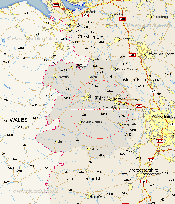
Shropshire Map Showing Location of Cressage
Population: 783
District: Shrewsbury and Atcham
Easting: 358269 Northing: 304167
Latitude: 52.63 Longitude: -2.62
 = Cressage
District: Shrewsbury and Atcham
Easting: 358269 Northing: 304167
Latitude: 52.63 Longitude: -2.62
= Cressage
This Cressage map below is supplied by Google. Use the tools in the top left corner to zoom into street level or zoom out for a road map, you may also need to zoom in to see Cressage on the map. Click and drag the map to move around. If the map fails to load try and refresh your browser or zoom in or out (+ or -).
Update - it seems Google no longer allow people to use their maps for free! This Cressage map sometimes loads and sometimes gives a error. I am working on a solution.
Closest 30 Towns or Cities to Cressage (Population over 500)
Much Wenlock 5.83km Berrington 5.92km Wrockwardine 8.15km Condover 9.19km Broseley 9.19km Baystonhill 9.73km Wellington 10.02km Ironbridge 10.12km Dawley 10.78km Barrow 10.78km Barrow Bridge 10.78km Rodington 11.12km Telford 11.32km Ketley 11.66km Hadley 11.66km Shrewsbury 12.16km Madeley 12.37km High Ercall 13.02km Ercall Magna 13.02km Trench 13.72km Oakengates 14.42km Great Hanwood 14.59km Hanwood 14.59km Rushbury 14.62km Ditton Priors 15.2km Donnington 15.45km Downington 15.45km Church Stretton 15.47km Hadnall 16.29km Cherrington 16.79km