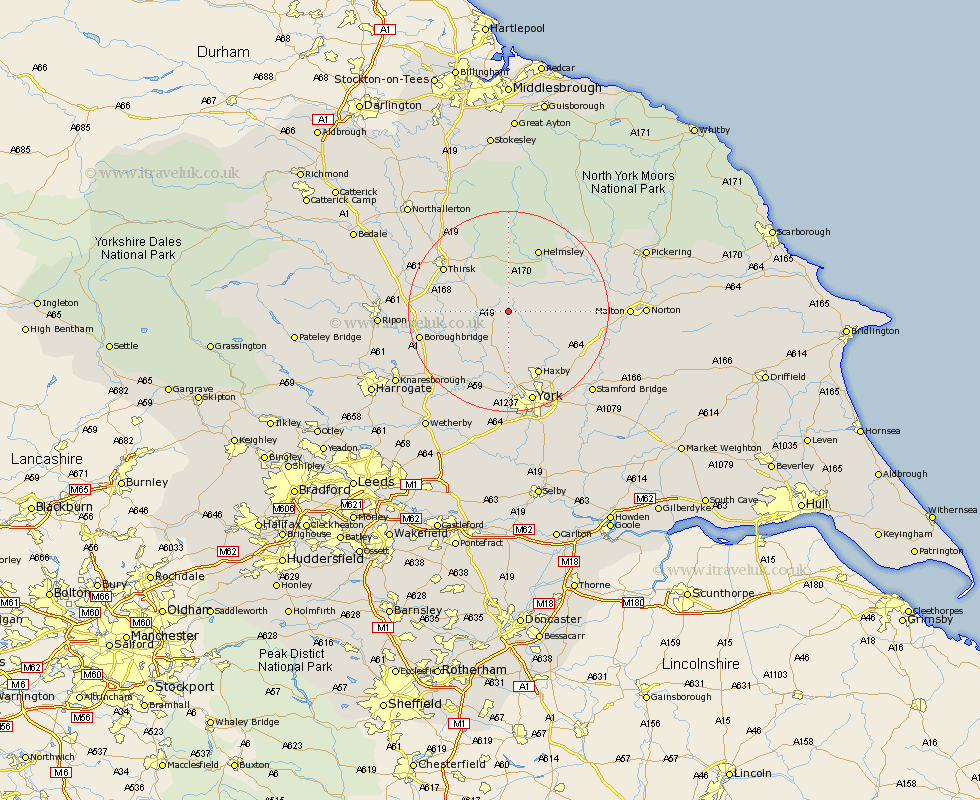
Yorkshire Map Showing Location of Crayke
Population: 390
District: Hambleton
Easting: 455532 Northing: 471181
Latitude: 54.13 Longitude: -1.15
 = Crayke
District: Hambleton
Easting: 455532 Northing: 471181
Latitude: 54.13 Longitude: -1.15
= Crayke
This Crayke map below is supplied by Google. Use the tools in the top left corner to zoom into street level or zoom out for a road map, you may also need to zoom in to see Crayke on the map. Click and drag the map to move around. If the map fails to load try and refresh your browser or zoom in or out (+ or -).
Update - it seems Google no longer allow people to use their maps for free! This Crayke map sometimes loads and sometimes gives a error. I am working on a solution.
Closest 30 Towns or Cities to Crayke (Population over 500)
Easingwold 3.74km Stillington 4.29km Huby 5.66km Raskelf 6.51km Ampleforth 7.73km Alne 7.77km Tollerton 8.59km Shipton 11.12km Sheriff Hutton 11.25km Newton upon Ouse 11.94km Newton 11.94km Strensall 11.99km Terrington 12.09km Linton-on-Ouse 12.89km Linton on Ouse 12.89km Linton 12.89km Linton upon Ouse 12.89km Haxby 14.06km Wigginton 14.06km Helmsley 14.06km Great Ouseburn 14.28km Ouseburn 14.28km Skelton 14.86km Thirsk 15.11km Slingsby 15.31km Nawton 15.53km Marton 15.95km Marton le Moor 15.95km Topcliffe 16.18km Huntington 16.2km