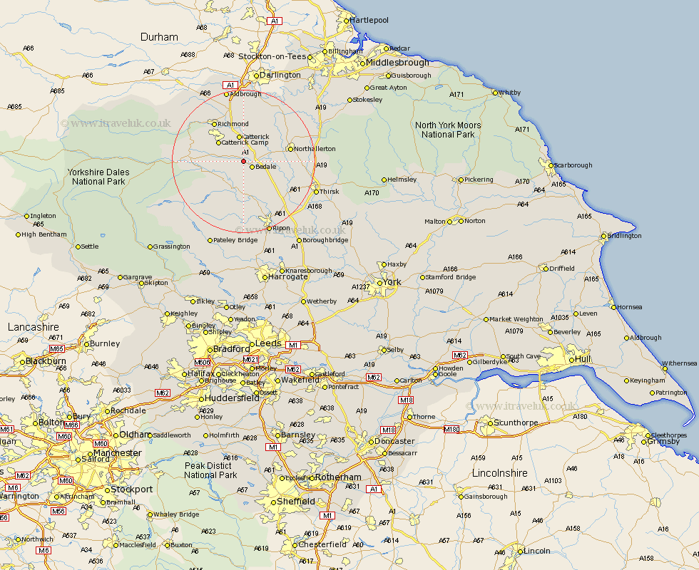
Yorkshire Map Showing Location of Crakehall
Population: 587
District: Hambleton
Easting: 424943 Northing: 489461
Latitude: 54.3 Longitude: -1.62
 = Crakehall
District: Hambleton
Easting: 424943 Northing: 489461
Latitude: 54.3 Longitude: -1.62
= Crakehall
This Crakehall map below is supplied by Google. Use the tools in the top left corner to zoom into street level or zoom out for a road map, you may also need to zoom in to see Crakehall on the map. Click and drag the map to move around. If the map fails to load try and refresh your browser or zoom in or out (+ or -).
Update - it seems Google no longer allow people to use their maps for free! This Crakehall map sometimes loads and sometimes gives a error. I am working on a solution.
Closest 30 Towns or Cities to Crakehall (Population over 500)
Bedale 2.85km Catterick 7.49km Scorton 9.33km Masham 9.51km West Tanfield 11.58km Tanfield 11.58km North Cowton 11.93km Northallerton 12.45km Leyburn 12.98km Middleham 13.11km Grewelthorpe 13.16km Richmond 13.45km Cowton 14.06km East Cowton 14.06km Brompton 14.11km Kirkby Malzeard 14.98km Gilling 16.18km Middleton Tyas 16.82km Barton 18.66km Topcliffe 19.96km Thirsk 20.6km Melsonby 20.83km Dishforth 21.15km Ripon 21.39km Osmotherley 21.83km Bradley 24.55km Monkton 25.26km Bishop Monkton 25.26km Bewerley 26km Burton Leonard 27.03km