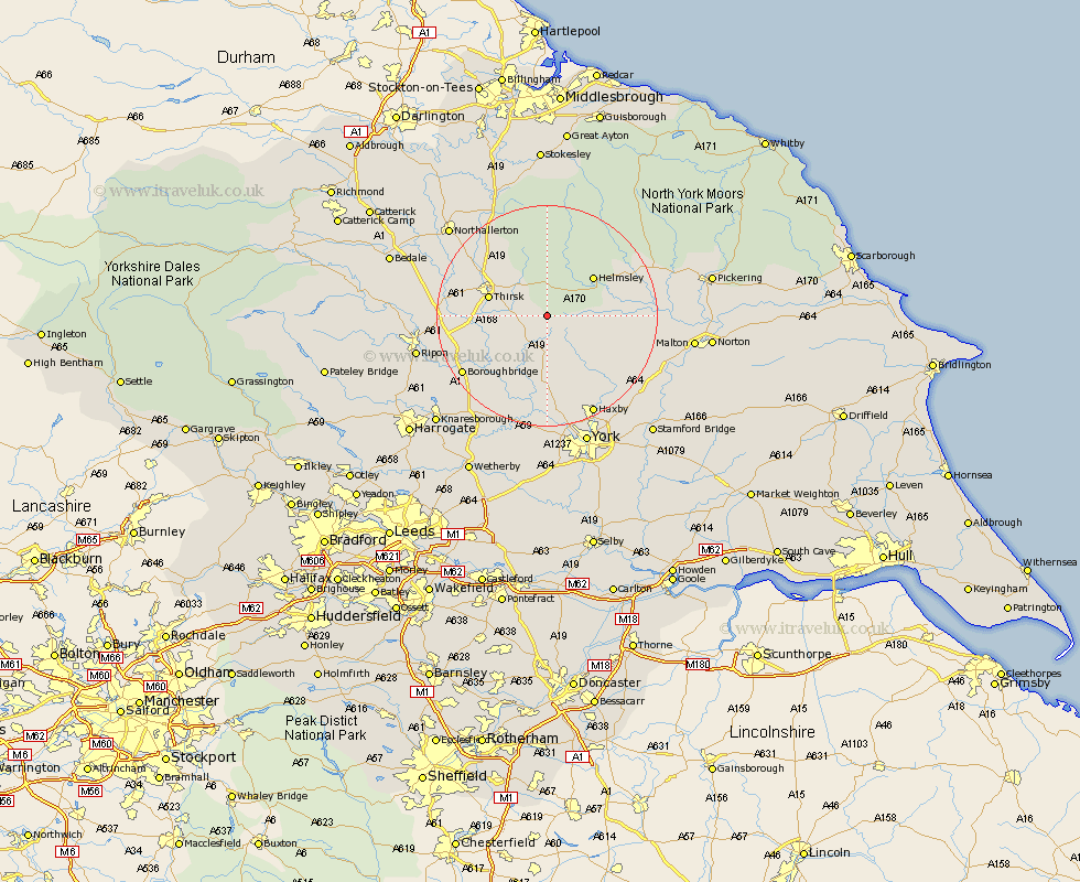
Yorkshire Map Showing Location of Coxwold
Population: 185
District: Hambleton
Easting: 453291 Northing: 476718
Latitude: 54.18 Longitude: -1.18
 = Coxwold
District: Hambleton
Easting: 453291 Northing: 476718
Latitude: 54.18 Longitude: -1.18
= Coxwold
This Coxwold map below is supplied by Google. Use the tools in the top left corner to zoom into street level or zoom out for a road map, you may also need to zoom in to see Coxwold on the map. Click and drag the map to move around. If the map fails to load try and refresh your browser or zoom in or out (+ or -).
Update - it seems Google no longer allow people to use their maps for free! This Coxwold map sometimes loads and sometimes gives a error. I am working on a solution.
Closest 30 Towns or Cities to Coxwold (Population over 500)
Ampleforth 4.72km Raskelf 7.05km Easingwold 7.48km Stillington 10.23km Thirsk 10.44km Helmsley 10.61km Huby 11.59km Alne 11.59km Topcliffe 13.01km Tollerton 13.15km Nawton 14.14km Dishforth 15.63km Terrington 15.93km Sheriff Hutton 16.32km Newton 16.82km Newton upon Ouse 16.82km Shipton 16.82km Ouseburn 17.18km Great Ouseburn 17.18km Linton 17.24km Linton on Ouse 17.24km Linton upon Ouse 17.24km Linton-on-Ouse 17.24km Marton le Moor 17.63km Marton 17.63km Slingsby 17.75km Strensall 17.76km Boroughbridge 17.97km Kirby Moorside 18.71km Kirkby Moorside 18.71km