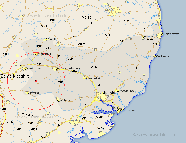
Suffolk Map Showing Location of Cowlinge
Population: 280
District: St. Edmundsbury
Easting: 572097 Northing: 255079
Latitude: 52.17 Longitude: 0.52
 = Cowlinge
District: St. Edmundsbury
Easting: 572097 Northing: 255079
Latitude: 52.17 Longitude: 0.52
= Cowlinge
This Cowlinge map below is supplied by Google. Use the tools in the top left corner to zoom into street level or zoom out for a road map, you may also need to zoom in to see Cowlinge on the map. Click and drag the map to move around. If the map fails to load try and refresh your browser or zoom in or out (+ or -).
Update - it seems Google no longer allow people to use their maps for free! This Cowlinge map sometimes loads and sometimes gives a error. I am working on a solution.
Closest 30 Towns or Cities to Cowlinge (Population over 500)
Wickhambrook 3.88km Chedburgh 7.07km Hundon 7.76km Chevington 7.76km Barrow 8.69km Thurlow 8.8km Gazeley 9.26km Moulton 9.54km Kedington 9.55km Clare 10.33km Haverhill 10.88km Newmarket 11.5km Cavendish 12.23km Glemsford 12.64km Risby 13.67km Lawshall 14.9km Exning 15.89km Bury St. Edmunds 16.48km Bury Saint Edmunds 16.48km Bury St Edmunds 16.48km Fornham All Saints 16.72km Long Melford 17.61km Rushbrooke 17.93km Cockfield 18.29km Bradfield St George 19.67km Bradfield Saint George 19.67km Bradfield 19.67km Bradfield St. George 19.67km Great Barton 20.34km Mildenhall 20.38km