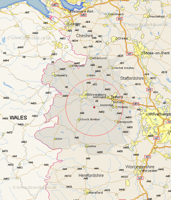
Shropshire Map Showing Location of Cound
Population: 379
District: Shrewsbury and Atcham
Easting: 356014 Northing: 304187
Latitude: 52.63 Longitude: -2.65
 = Cound
District: Shrewsbury and Atcham
Easting: 356014 Northing: 304187
Latitude: 52.63 Longitude: -2.65
= Cound
This Cound map below is supplied by Google. Use the tools in the top left corner to zoom into street level or zoom out for a road map, you may also need to zoom in to see Cound on the map. Click and drag the map to move around. If the map fails to load try and refresh your browser or zoom in or out (+ or -).
Update - it seems Google no longer allow people to use their maps for free! This Cound map sometimes loads and sometimes gives a error. I am working on a solution.
Closest 30 Towns or Cities to Cound (Population over 500)
Cressage 2.25km Berrington 3.85km Condover 7km Much Wenlock 7.7km Baystonhill 7.7km Wrockwardine 9.3km Shrewsbury 10.84km Rodington 11.34km Broseley 11.4km Wellington 11.65km Ironbridge 12.37km Great Hanwood 12.54km Hanwood 12.54km Dawley 12.91km Barrow Bridge 12.92km Barrow 12.92km Telford 13.29km Ercall Magna 13.41km High Ercall 13.41km Ketley 13.47km Hadley 13.47km Rushbury 13.73km Church Stretton 13.73km Madeley 14.62km Trench 15.45km Hadnall 15.5km Bicton 15.81km Pontesbury 15.85km Ditton Priors 15.86km Ford 16.37km