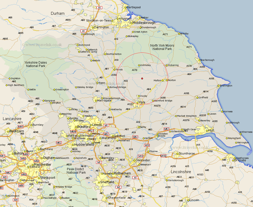
Yorkshire Map Showing Location of Coulton
Population: 65
District: Ryedale
Easting: 463129 Northing: 473137
Latitude: 54.15 Longitude: -1.03
 = Coulton
District: Ryedale
Easting: 463129 Northing: 473137
Latitude: 54.15 Longitude: -1.03
= Coulton
This Coulton map below is supplied by Google. Use the tools in the top left corner to zoom into street level or zoom out for a road map, you may also need to zoom in to see Coulton on the map. Click and drag the map to move around. If the map fails to load try and refresh your browser or zoom in or out (+ or -).
Update - it seems Google no longer allow people to use their maps for free! This Coulton map sometimes loads and sometimes gives a error. I am working on a solution.
Closest 30 Towns or Cities to Coulton (Population over 500)
Terrington 5.71km Slingsby 7.6km Sheriff Hutton 7.73km Ampleforth 7.77km Stillington 7.77km Nawton 9.82km Huby 9.87km Strensall 11.12km Helmsley 11.33km Easingwold 11.47km Raskelf 14.23km Kirby Moorside 14.51km Kirkby Moorside 14.51km Malton 14.67km Wigginton 14.98km Haxby 14.98km Alne 15km Shipton 15.04km Tollerton 15.12km Earswick 16.71km Huntington 16.71km Norton 17.43km Newton 17.64km Newton upon Ouse 17.64km Skelton 17.91km New Earswick 18.66km Linton on Ouse 19.18km Linton upon Ouse 19.18km Linton 19.18km Linton-on-Ouse 19.18km