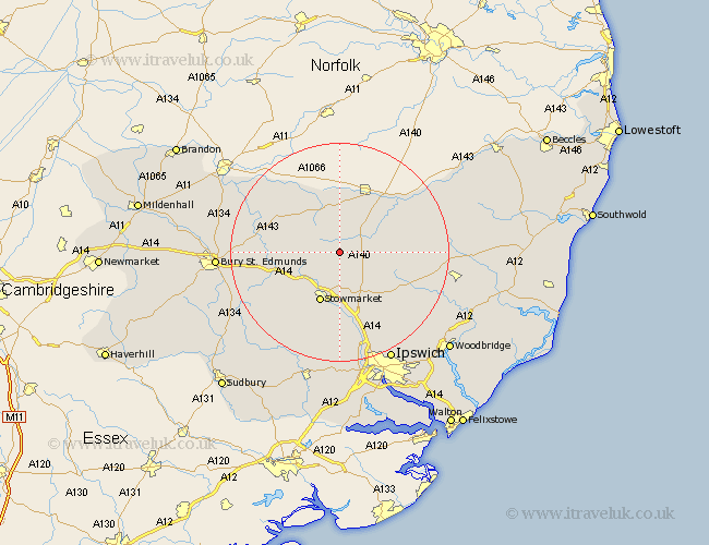
Suffolk Map Showing Location of Cotton
Population: 490
District: Mid Suffolk
Easting: 606955 Northing: 267549
Latitude: 52.27 Longitude: 1.03
 = Cotton
District: Mid Suffolk
Easting: 606955 Northing: 267549
Latitude: 52.27 Longitude: 1.03
= Cotton
This Cotton map below is supplied by Google. Use the tools in the top left corner to zoom into street level or zoom out for a road map, you may also need to zoom in to see Cotton on the map. Click and drag the map to move around. If the map fails to load try and refresh your browser or zoom in or out (+ or -).
Update - it seems Google no longer allow people to use their maps for free! This Cotton map sometimes loads and sometimes gives a error. I am working on a solution.
Closest 30 Towns or Cities to Cotton (Population over 500)
Bacton 1.13km Mendlesham 2.93km Gislingham 3.87km Old Newton 5.67km Haughley 6.52km Thorndon 7.05km Botesdale 7.49km Badwell Ash 8.15km Elmswell 8.77km Wortham 9.33km Eye 9.69km Stowmarket 9.88km Stanton 10.64km Woolpit 10.65km Hepworth 10.85km Redgrave 11.35km Norton 11.49km Debenham 11.63km Barningham 12.96km Hopton 13.03km Finborough 13.04km Great Finborough 13.04km Pakenham 13.61km Bardwell 13.65km Rattlesden 13.8km Ixworth 14.1km Hoxne 14.64km Worlingworth 14.74km Thurston 14.86km Ringshall 15.22km