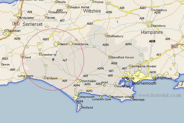
Dorset Map Showing Location of Corscombe
Population: 465
District: West Dorset
Easting: 351901 Northing: 105893
Latitude: 50.85 Longitude: -2.68
 = Corscombe
District: West Dorset
Easting: 351901 Northing: 105893
Latitude: 50.85 Longitude: -2.68
= Corscombe
This Corscombe map below is supplied by Google. Use the tools in the top left corner to zoom into street level or zoom out for a road map, you may also need to zoom in to see Corscombe on the map. Click and drag the map to move around. If the map fails to load try and refresh your browser or zoom in or out (+ or -).
Update - it seems Google no longer allow people to use their maps for free! This Corscombe map sometimes loads and sometimes gives a error. I am working on a solution.
Closest 30 Towns or Cities to Corscombe (Population over 500)
Mosterton 5.85km Beaminster 7.27km Netherbury 8.77km Broadwinsor 8.99km Broadwindsor 8.99km Leigh 9.54km Yetminster 9.89km Bradford Abbas 10.21km Maiden Newton 12.37km Loders 13.19km Bradpole 13.44km Bridport 13.96km Thorncombe 14.53km Cerne Abbas 16.2km Buckland Newton 16.49km Burton Bradstock 16.84km Sherbourne 17km Sherborne 17km Chideock 17.54km Charmouth 20.01km Piddletrenthide 20.15km Puddletrenthide 20.15km Charminster 20.91km Abbotsbury 21.21km Lyme Regis 21.84km Portesham 21.97km Portisham 21.97km Dorchester 22.99km Stalbridge 24.83km Puddletown 25.93km