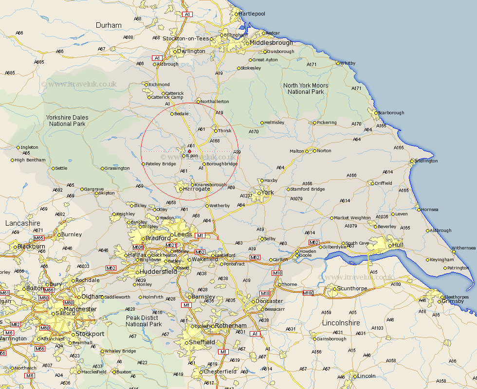
Yorkshire Map Showing Location of Copt Hewick
Population: 194
District: Harrogate
Easting: 433755 Northing: 470970
Latitude: 54.13 Longitude: -1.48
 = Copt Hewick
District: Harrogate
Easting: 433755 Northing: 470970
Latitude: 54.13 Longitude: -1.48
= Copt Hewick
This Copt Hewick map below is supplied by Google. Use the tools in the top left corner to zoom into street level or zoom out for a road map, you may also need to zoom in to see Copt Hewick on the map. Click and drag the map to move around. If the map fails to load try and refresh your browser or zoom in or out (+ or -).
Update - it seems Google no longer allow people to use their maps for free! This Copt Hewick map sometimes loads and sometimes gives a error. I am working on a solution.
Closest 30 Towns or Cities to Copt Hewick (Population over 500)
Ripon 2.85km Dishforth 4.72km Monkton 5.66km Bishop Monkton 5.66km Burton Leonard 7.48km Boroughbridge 7.77km Topcliffe 8.56km Tanfield 9.19km West Tanfield 9.19km Marton 10.62km Marton le Moor 10.62km Kirkby Malzeard 11.47km Grewelthorpe 12.19km Thirsk 13.47km Killinghall 13.68km Birstwith 14.11km Masham 14.27km Ouseburn 14.28km Great Ouseburn 14.28km Knaresborough 14.86km Hampsthwaite 15.03km Raskelf 15.2km Whixley 16.92km Harrogate 17km Alne 17.22km Dacre 17.81km Bedale 17.9km Darley 17.98km Easingwold 18.55km Linton 18.85km